After a break, I returned to the Big Bend region of Texas to see what I had missed during my previous visits. The region includes two large parks, Big Bend National Park and Big Bend Ranch State Park, and I visited both.
Big Bend National Park
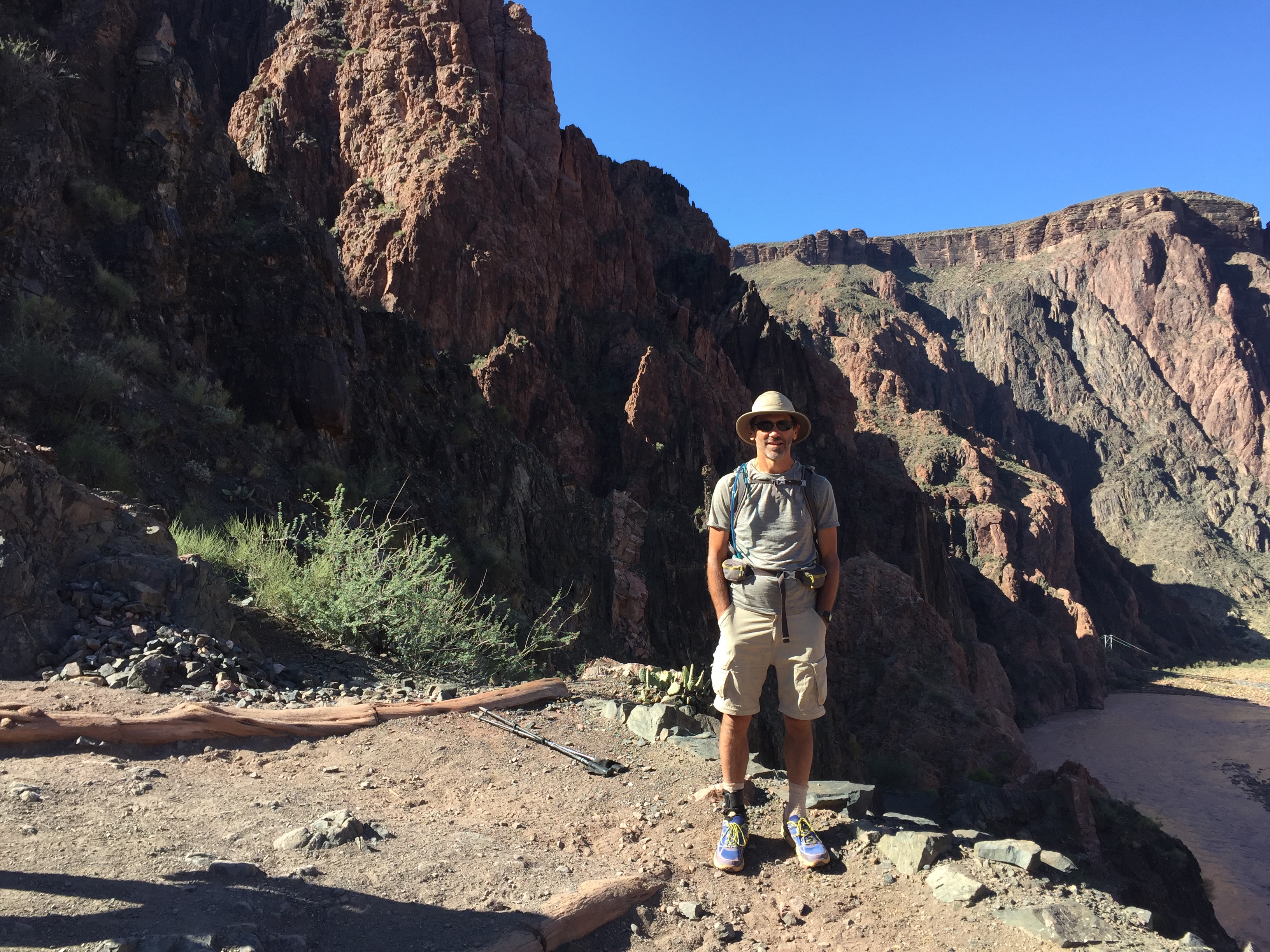
This was my third trip to Big Bend. Oddly I had missed most of the classic hikes there. I hiked them as well as explored some new areas off-trail.
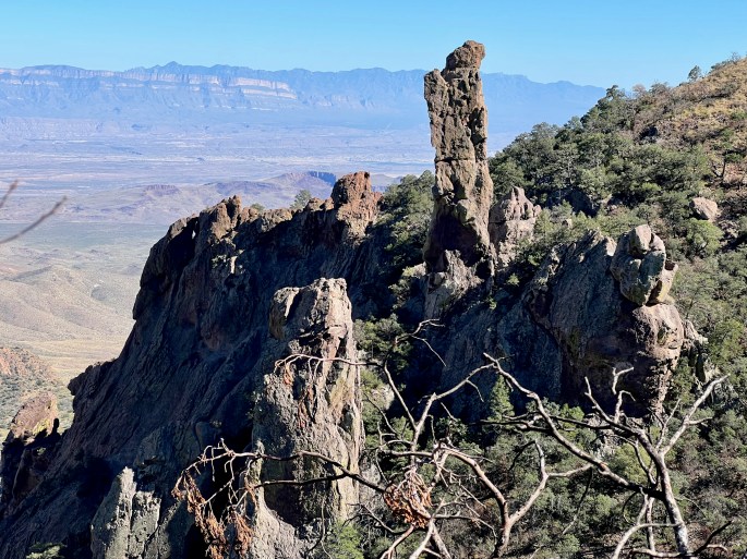
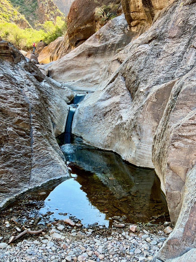
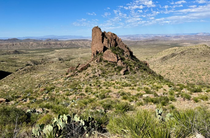
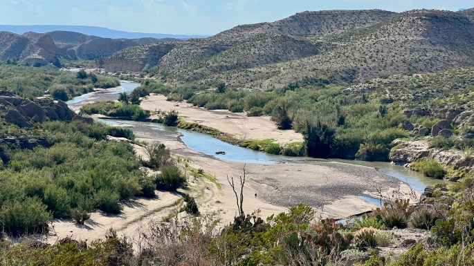
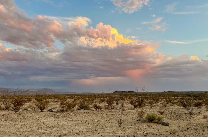
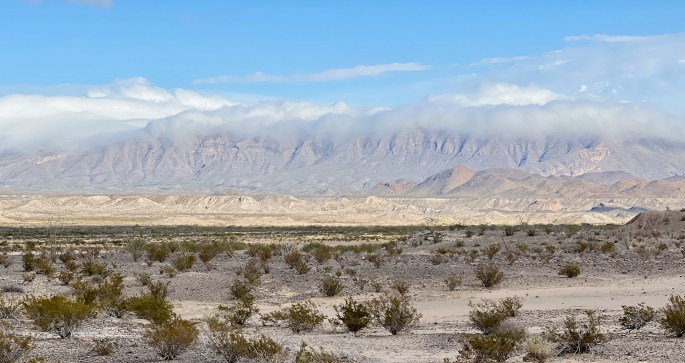
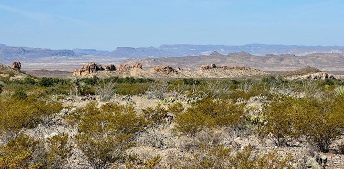
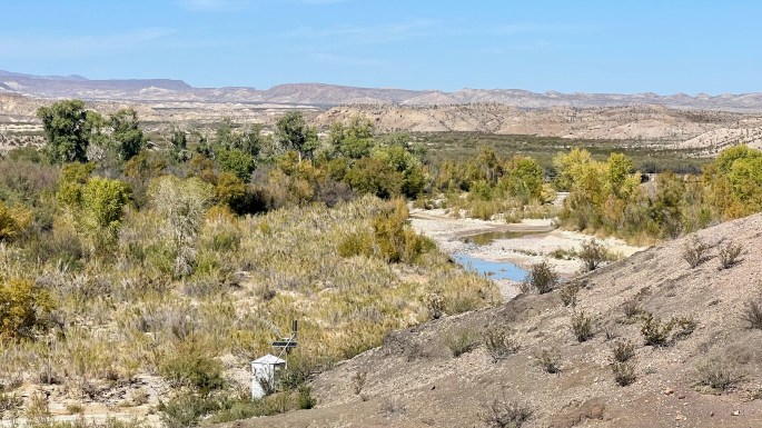
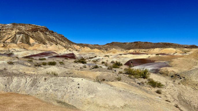
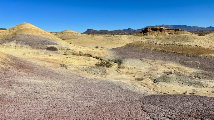
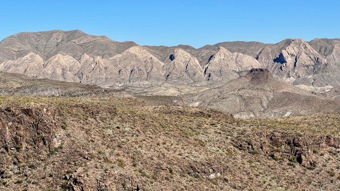
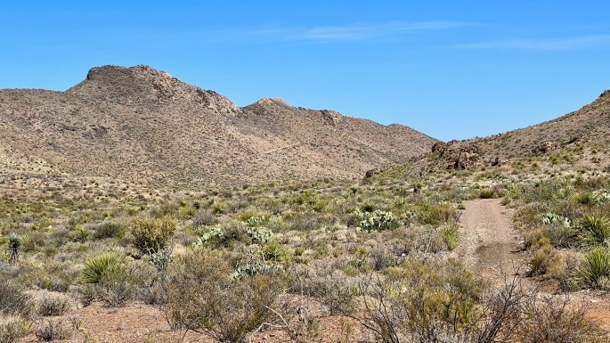
This can’t be a solo elk, can it? It’s more likely to be a deer, but it’s got about 10 points. Is this the place for a deer that big? Given that elk are extremely rare in the park, I’m guessing that it’s a mule deer, which are considered to be common.This was my first of many views from the South Rim. This stretch of trail has been called “five of the best hundred miles in the National Park system.”More of the Chisos mountain range. Each range seems to have its own characteristics that distinguishes it from all others. Welcome to the Chisos.Some of the pinnacles on the Pinnacles Trail. The mighty Sierra del Carmen mountains in the background are just across the Rio Grande in Mexico.The Windows Trail goes from the Chisos Basin to a gap in the Chisos Mountains, which nearly ring the basin. Through the window, in the center, is the desert to the west.Oak Creek flows to the pour-off at The WindowThis butte was an eye magnetThe popular Grapevine Hills Trail has some interesting rock formations. The distinctively pink Rosillos Mountains are in the background.The Rio Grande (in canyon on right) heads towards the striking and prominent Sierra Del Carmen mountains in MexicoThe Rio Grande near the hot springsEvening skies. As darkness approached they produced a very active lightning show with several flashes per minute.The west side of Main Park Road was cloudy, dark and almost threatening while the east side, where I was hiking, was mostly sunny and pleasant. This lasted for most of the morning. The contrast was striking.Interesting interplay between clouds, mountains and sun in the desertHow do these rocks get eroded like that? I’ve seen plenty of smooth, sculpted rocks in washes on my hikes, but rocks like these are very rare.Looking back from the Lost Mine Trail into Chisos Basin and beyondJupiter Canyon is the highlight of the Lost Mine Trail, where the legendary mine of the Chisos was supposedly built by the enslaved Chizos natives. Although I had hoped to bring back riches of gold and silver, I found nothing.The Chimneys and beyondAn interesting scene while walking in the wash includes banks on both sides, an odd T-shaped pair of rocks vegetation and a distant view of Santa Elena Canyon (one of the major points of interest in the park) in the background .An odd combination of colors makes this scene interestingTerlingua Creek (unlike other “creeks” in the park) actually holds quite a bit of water. It supports a lot of vegetation along its banks, even including trees. But it’s recommended that you don’t drink it.The Rattlesnake Mountains sit above an area of badlands. The were unnamed on the maps I had, so I dubbed them the Rattlesnake Badlands. I was intrigued, so I went for a look.Fossil clams were common on the surface here. I gathered some of these for a photo shoot.Here is where it starts to get really interesting. I knew I was on the verge of something special.My exit would be through this wide spaceColors really come alive hereI have many more photos of this place, but I don’t have room to show any more. I loved this place.
Big Bend Ranch
The sister or cousin park to Big Bend is “the same thing, only different.” With a decent off-road vehicle I was able to visit places I could not safely reach in the past. I wish I could show more photos of this place.
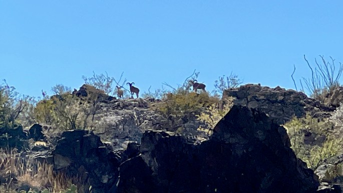
Desert bighorn sheep. Bighorn sheep can be hard to photograph for those with ordinary cameras since they like to keep their distance.My fifth rattlesnake encounter. These always make me think about “What if …”. It seems to be a Texas variety of the Western Diamondback rattlesnake. Note that the portion of the snake near the tail contains black and white rings – not diamonds. The photo would have been better if I had removed the little branches in the way, but I decided that might not be a good idea.Here is a nice view of the flatirons. It would be fun to get closer on a future trip.The Chihuahan Desert has its own distinctivesOn the left is the Road to Nowhere. I’d like to go there some day; there must be a reason for its existence. The map seems to show that it provides a great view into the heart of The Solitario, which is seems to be the flagship feature of Big Bend Ranch.