I visited the famous Organ Pipe Cactus National Monument and the lesser known Grand Canyon National Park.
Organ Pipe Cactus National Monument
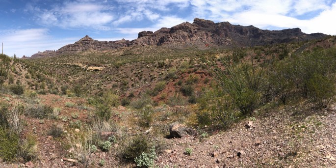
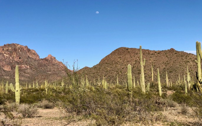
You may never have heard of it, but you can see it on a map along the border with Mexico. But would it be an interesting place to visit? My two-part answer says that the desert portion is moderately interesting, and the Ajo Mountains are definitely worth visiting. With the right viewing angle you can see through it.
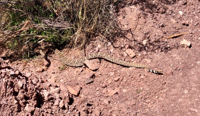
Remember 2016? It sure looks like some construction has been going on. With this part of the desert looking pretty monotonous and relatively boring, The Wall is easily the most dramatic thing to be seen here. FWIW, it’s about 25 feet high.I suspect this is a water station set up for the safety of illegal immigrants. On the left is an organ pipe cactus.A hilside full of organ pipe cactiI enjoyed the scenic vistas at many points along Ajo Mountain Drive. Of course, it’s not as good as hiking, but I enjoyed the drive nonetheless. Recommended.I wonder while they call this Arch CanyonThis western diamondback rattlesnake had been sunning itself on the road when I passed by. I had to go back to take a look – and a picture.A nice desert scene even if it contains no organ pipe cacti
Grand Canyon National Park
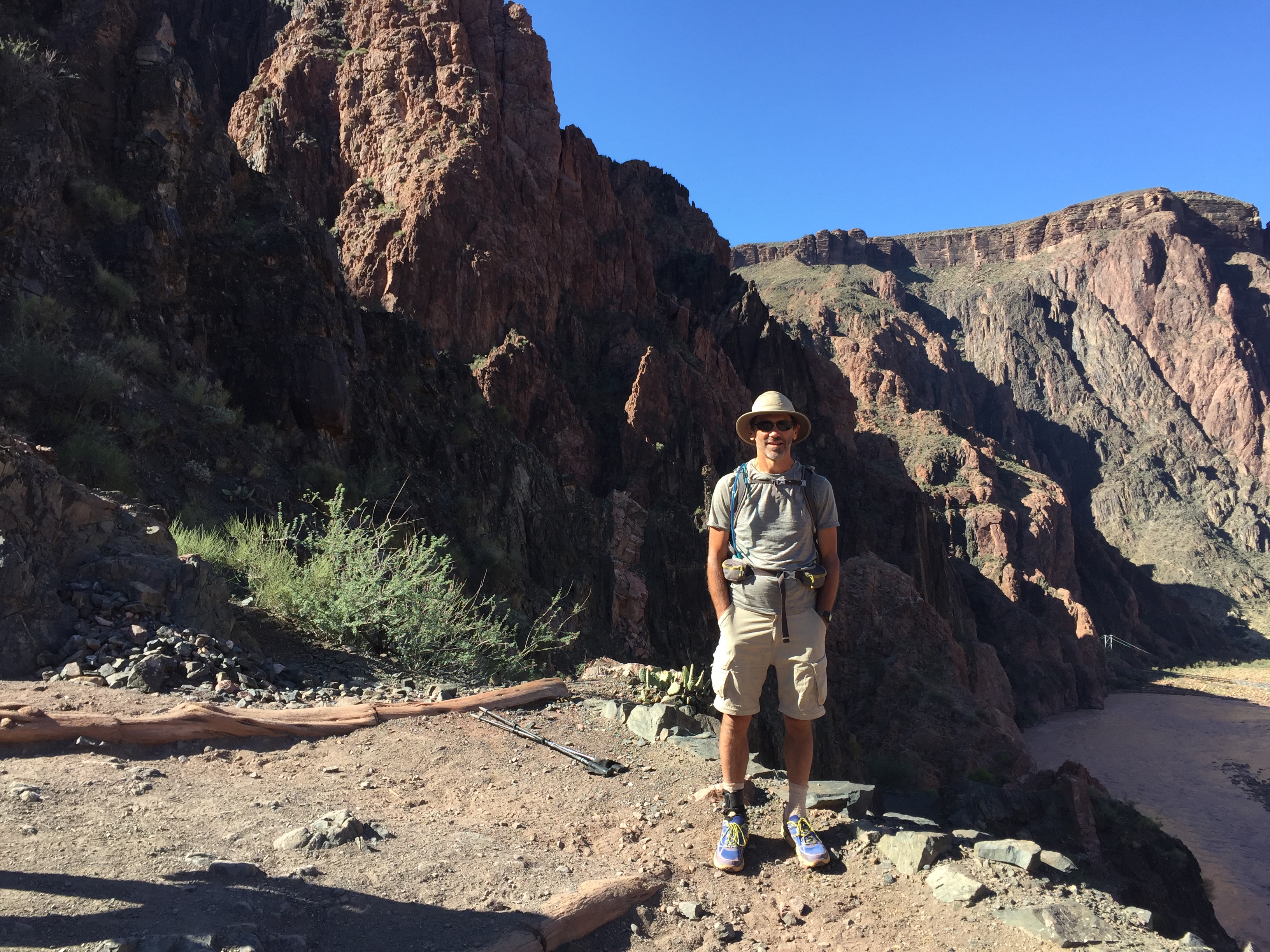
This was my second backpacking trip from the south rim to the river. I started at Grandview Point, which is located on Highway 64, leads into the park. (So, if you go to the main area that includes the Visitor Center, you won’t see it.)
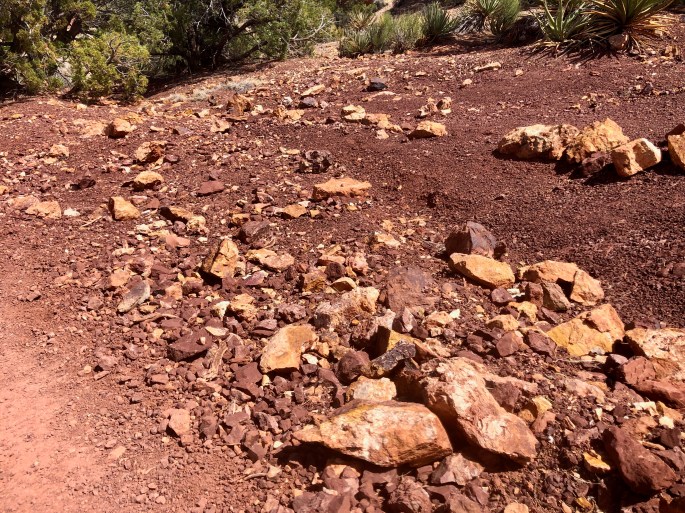
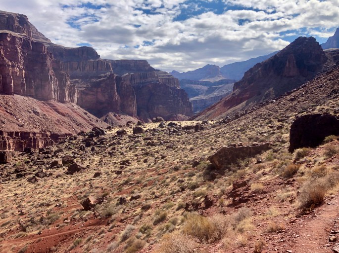
For this trip into the Grand Canyon, I would descend from the lower right to Horseshoe Mesa in the lower middle and cross the left arm before descending to the middle of the canyon. Then I would take an unseen trail toward the canyon on the lower right. (Yes, I took the long way to get there.) On the following day I would take the canyon all the way to the river (far right and beyond) and back. On the third day, I would return to the top via the short way. That short way might be the hardest trail I have ever hiked on a per mile basis. But the Grand Canyon always offers rewards that match the challenge. I’ll be back.Within Grand Canyon National Park are the sites of former uranium mines! This is one of them. In case you are tempted to check out the pretty yellow rocks or descend into the mines, this sign is your warning.These bright yellow or orange-ish rocks were characteristic of the area. Do they contain a radioactive element, e.g. uranium?Mineral Canyon heads down to the Colorado River at Hance Rapids. If you choose, you can then take the New Hance Trail, which goes thru (You guessed it) Red Canyon. OTOH, Hance Creek leads to Sockdolager Rapids. See how it all makes sense?Near the river the rock layers are slanted. Why not elsewhere?Even under bad lighting, I like this view up the canyon. The river below is hiding on the left.As the Colorado River rushes down from right to left, the rock layers slant down from left to right, while my eyes are dazzled by the hues.Boaters, too, love the Grand Canyon.