On this trip I encountered three places where circumstances and my preferences conspired to add to my agenda. They aren’t glamorous destinations, and most people have never heard of them. But by no means does that make them unworthy of visiting, All are found on this page.
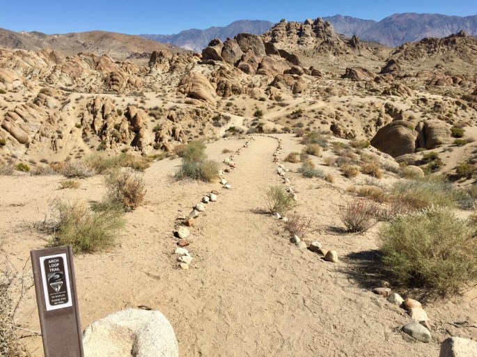
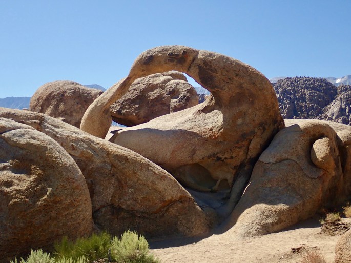
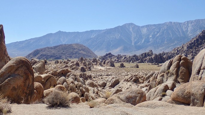
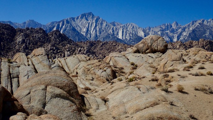
Alabama Hills Recreation Area
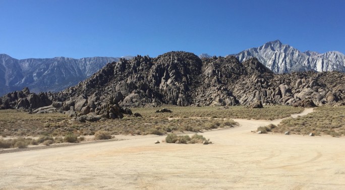
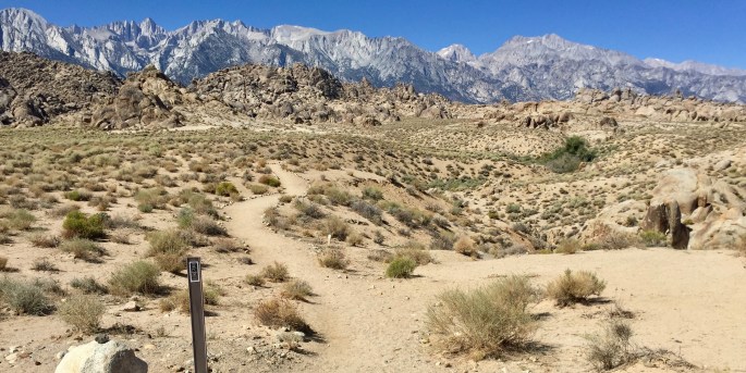
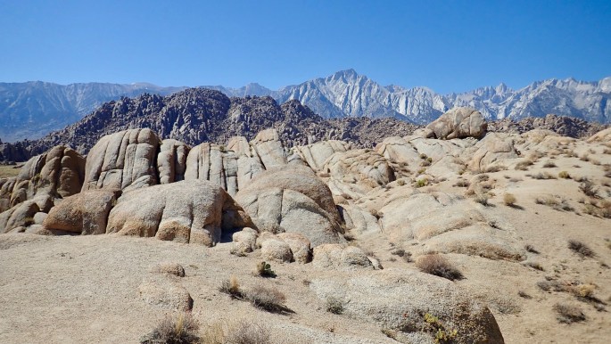
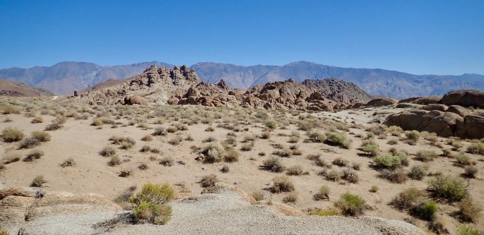
Somehow, the Alabama Hills have slipped between the cracks. They exist in the Owens Valley between two contrasting and more well-known mountain ranges. To the West are the majestic Sierras, which are very tall, jagged, dark and forboding. To the East are the Inyo’s, which are moderately tall, rounded, brown and warm. These two sit on opposite sides of the valley. I find that to be very unusual; the sides of valleys are usually similar. Driving along U.S. highway 395 these ranges, and the stark contrast between them, are captivating. Who has any interest in a big pile of rocks between them? But the rocks are definitely worth visiting, IMHO. And their mountain neighbors only serve to add to the intrigue. The government doesn’t seem to care much about them; they aren’t managed by the high-profile National Park Service, or even by the U.S. Forest Service, but by the Bureau of Land Management, which only gets the leftovers. The area is barely managed at all. You can just drive there, visit, park, camp etc. just about as you like. If you find yourself in the Lone Pine, CA area be sure to visit them. (Also do not fail to drive the Whitney Portal Road.)
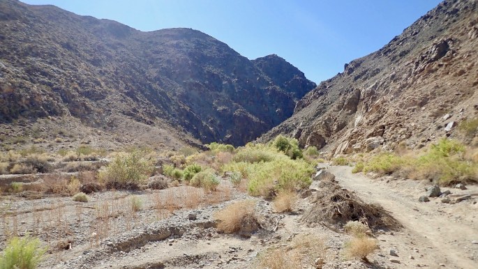
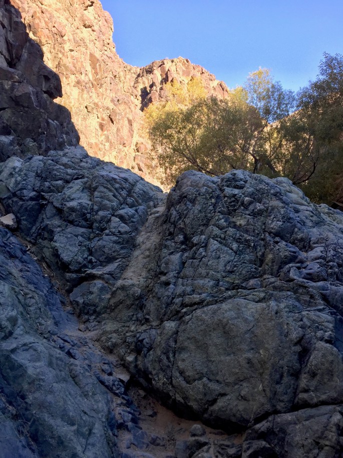
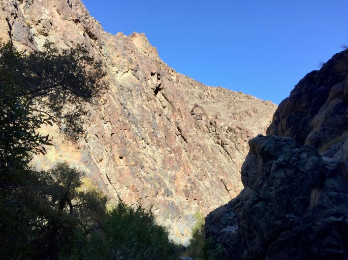
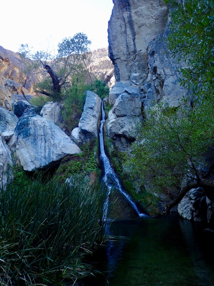
Darwin Falls
Darwin Falls is one of the places to visit in Death Valley, but I doubt it is generally well-known. It is an almost straightforward, one-mile, out and back hike.


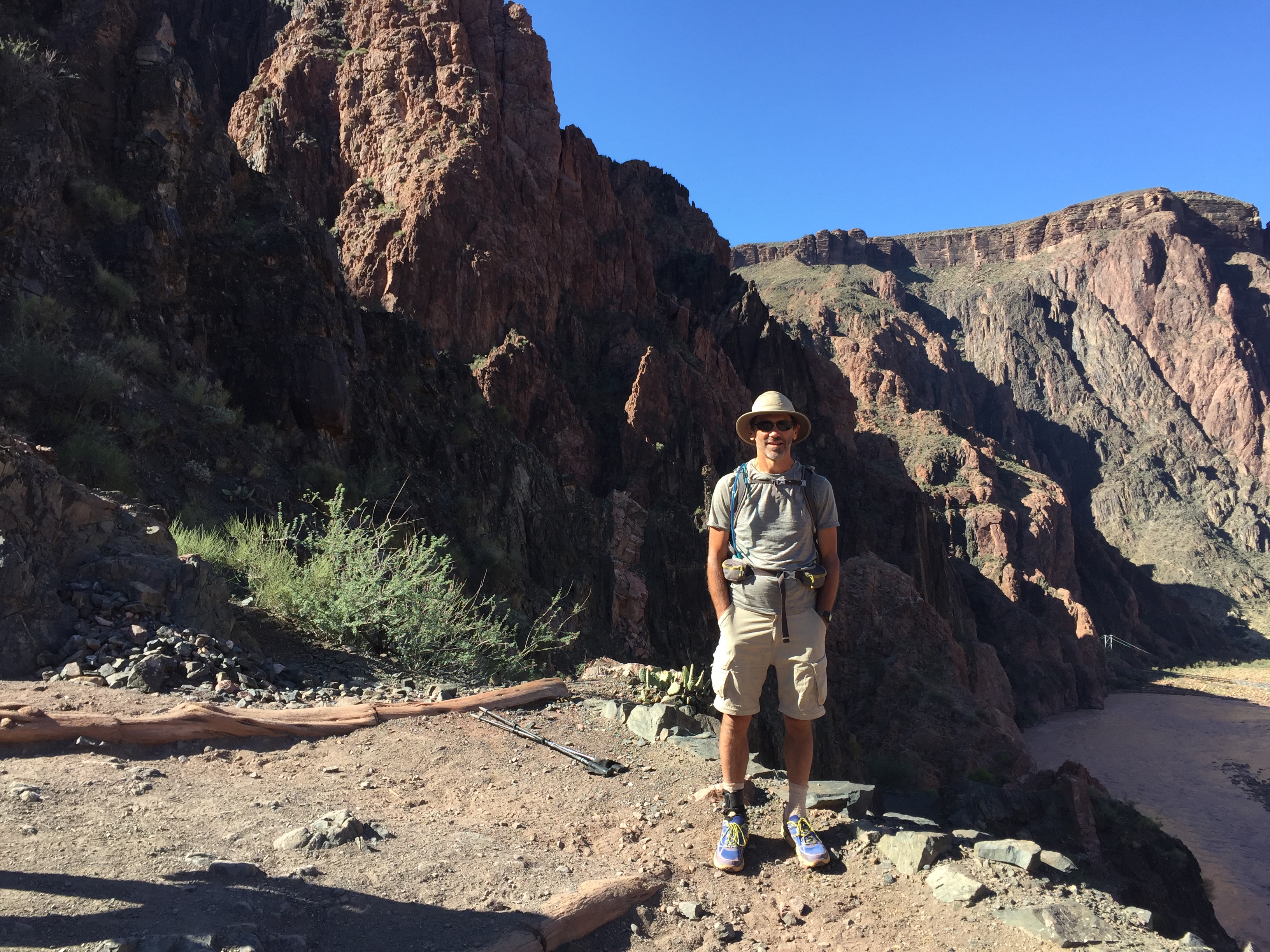
Beware the much-dreaded Hiker’s Eye
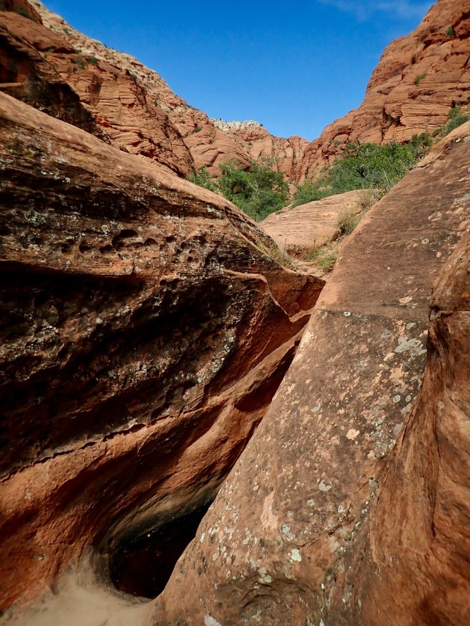
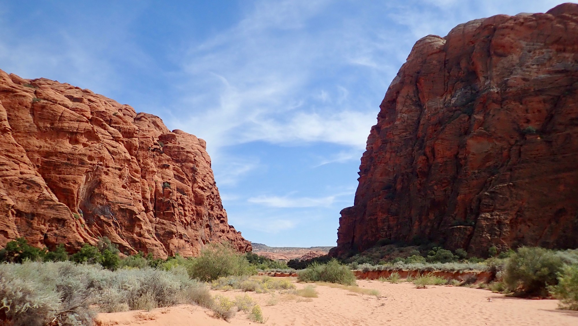
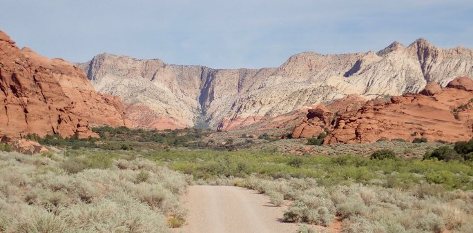
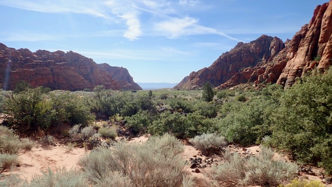
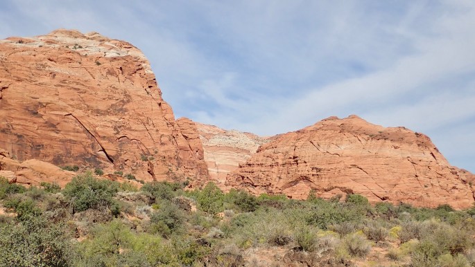
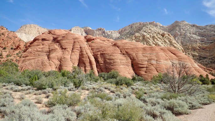
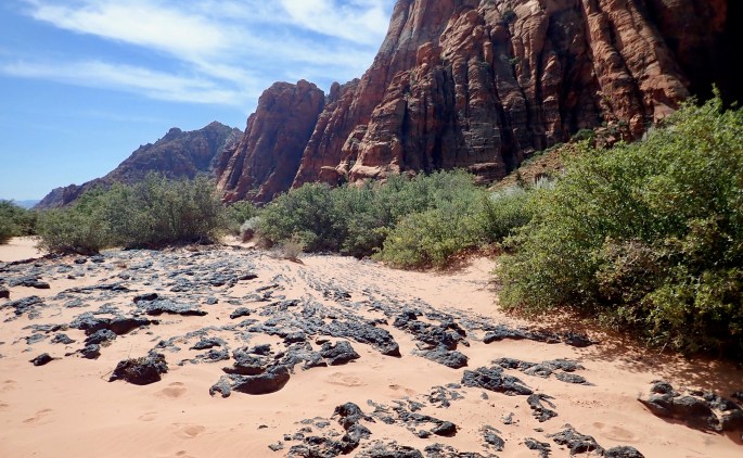
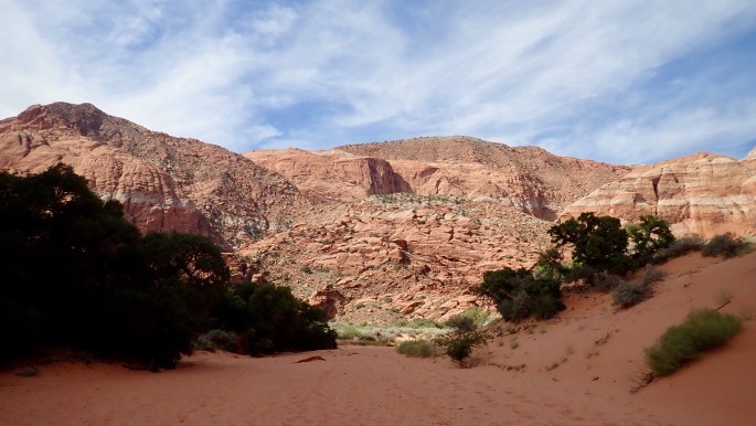
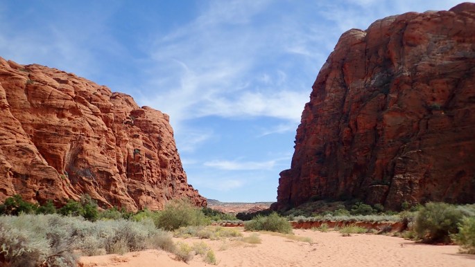
Snow Canyon State Park (Utah)
Can a mere state park be as nice as the national parks, particularly the five in Utah? In this case, perhaps not. But perhaps it should be the sixth.
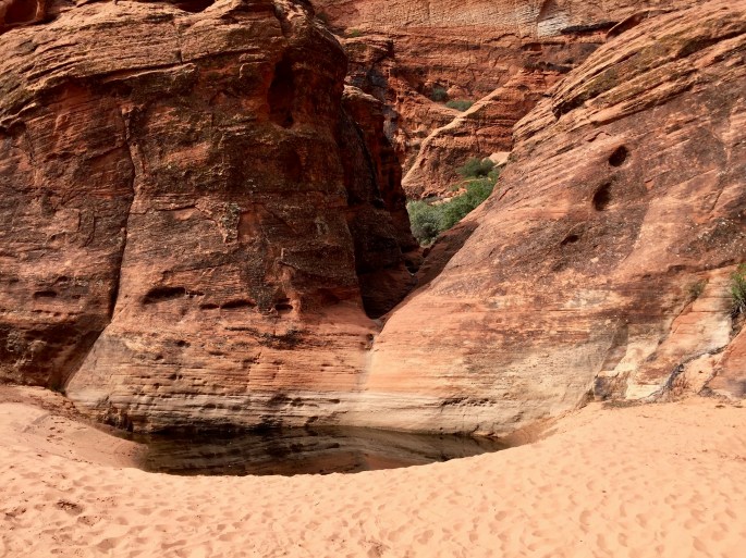
This trail was formerly called the Three Ponds Trail. This is the first pond.