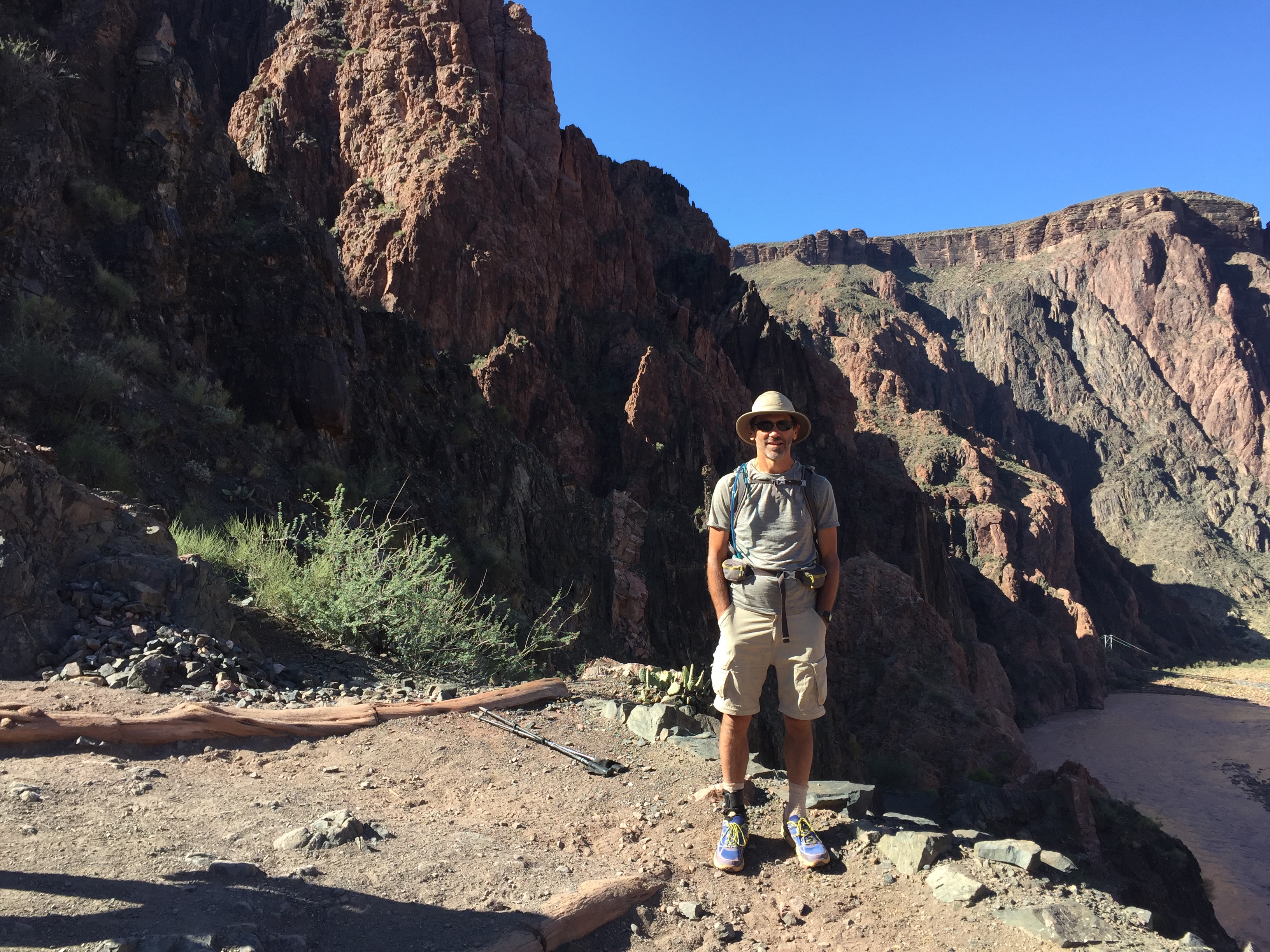
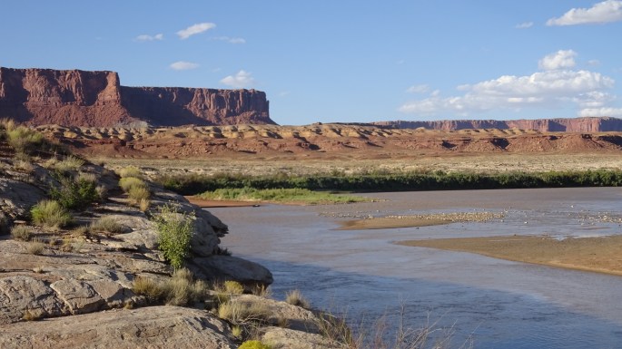
Fall 2016: Canyonlands: Green River (Stillwater Canyon)
Over three days, I canoed down the Green River through the section that flows through the park from Mineral Bottom through the confluence with the Colorado River to Spanish Bottom, which would be the launch point for my backpacking trip into The Maze. Along the way, I stopped at various places for short hikes where the river was no longer to be seen.
The Green River was endlessly fascinating. Every 5-10 miles it would change character on a large scale. I would love to go back again some day.
This section is called Stillwater Canyon. There is also a similar section upstream called Labyrinth Canyon.
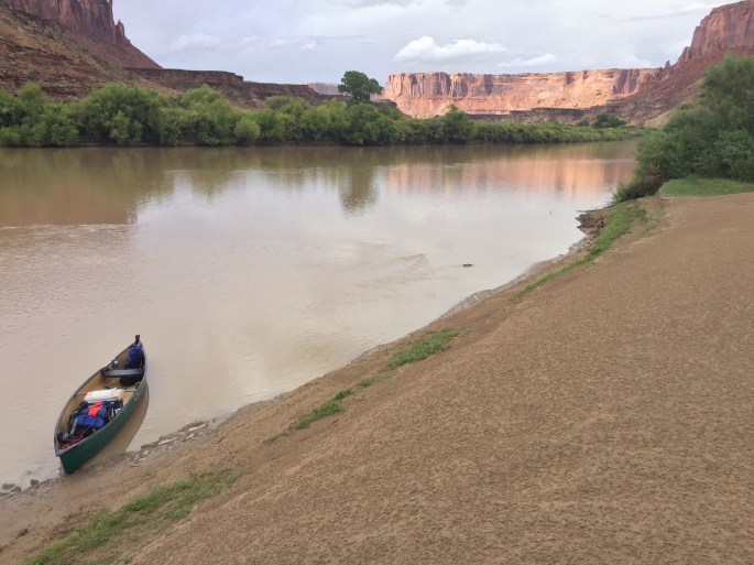
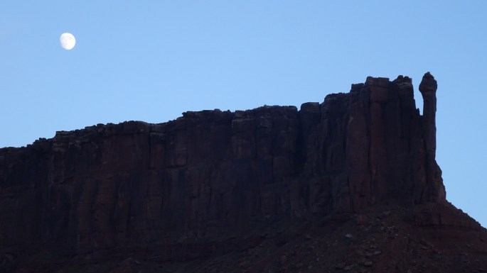
The Green River as seen at the start of its access road at Mineral Bottom. The route goes down the scary road at the bottom of the picture and then down through the middle and then off to the right.Is the river really so steep? Or is it an optical illusion created by geological layers that are not horizontal? The effect is quite stunning in person.While I visited an old mine, I was passed by four women in kayaks. What set these women apart from other river rats was their ages; I guessed them to be from the 50s to about 70. Yes, they camped along the river too; that’s the only way to do it here. They’ve been all over the world. Hats off to four more AA60er’s!Rain on the water while the sun is out. I initially thought those speckles were dust on the lens of the camera, but I bet they’re really the sunlight refracting off the falling raindrops. Kinda cool. Shutter: 1/2639th of a second.Stopped while checking out a possible hiking spotAs the sun sets, the moon rises, and the river seems to stop.Morning alpenglow turned anything into red rock wonderland
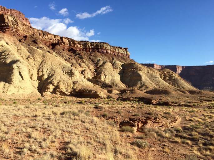
Just one interesting scene on a hike away from the riverLooking back after checking out a little side channelI never cease to be amazed at the endless variety in red rock countryWhere’s the (Green) River? It ain’t here. There were quite a few times that I would get off the river and go hiking. Somehow it seemed to be different from the hiking in the main districts. Don’t ask me why.Major John Wesley Powell first reported that from a distance the Buttes of the Cross seemed to form a broken down cross. But when observed closer, the cross had been an illusion. There are really two separate buttes.With the canoe safely ensconced near my campsite, I set out for an evening stroll to get a feel for the land and the river.Strange swirls in the rock layers
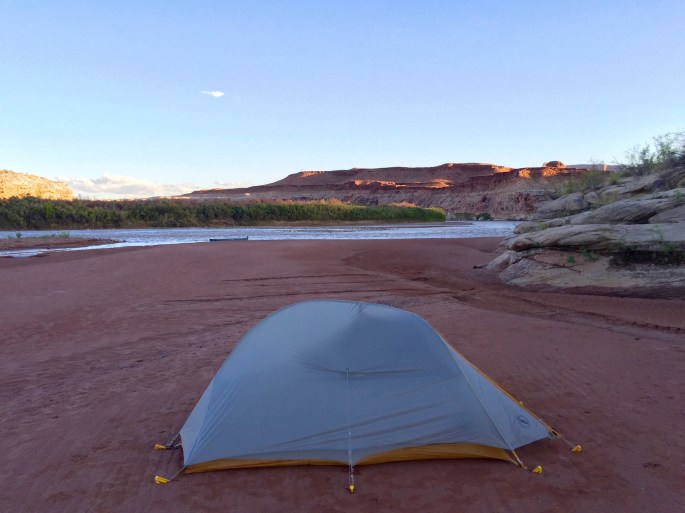
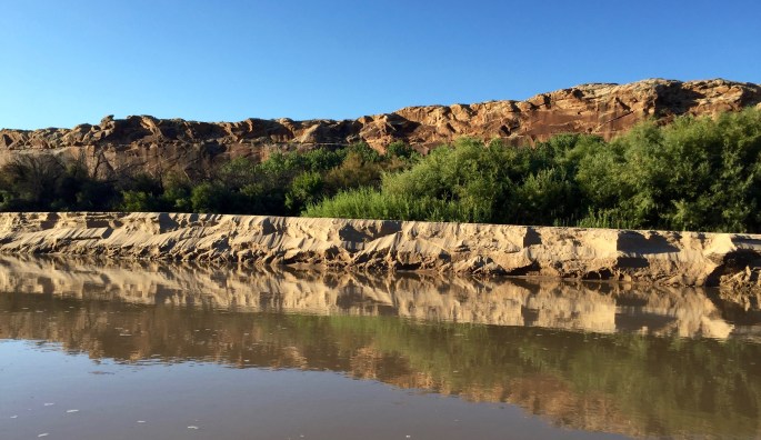
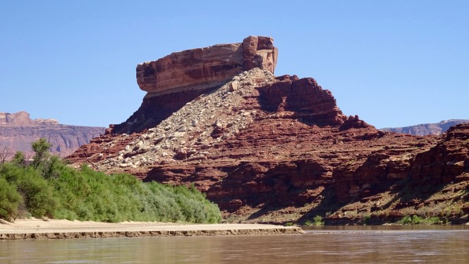
My house on the beachCan you figure out what you’re looking at? In the middle is an unusually tall (about 6 feet), transitory, cliff-like shoreline with its reflection in the water. (You can figure out the rest.)Easy canoeing was the rule for my trip. But there are no guarantees. For others, it has been very different.Blue herons were somewhat common on the river.Turk’s Head changes its appearance as you go around it. Here, it looks like Noah’s Ark resting atop one of the mountains of Ararat.
Serenity
Totals for the Green River: 3½ days, 66 miles canoeing and 18 miles hiking