Despite being as big as Yosemite, Big Bend is not nearly as well known. That’s fine with me. So please don’t tell anyone about it. I had no trouble keeping busy for two weeks, and I’d like to go back some day to continue where I left off. I’ll describe the trip geographically.
Southeast
With Rio Grande Village as my base, I hiked the trails, hills and washes and canoed the river through Boquillas Canyon (and actually ended outside the park).
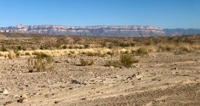
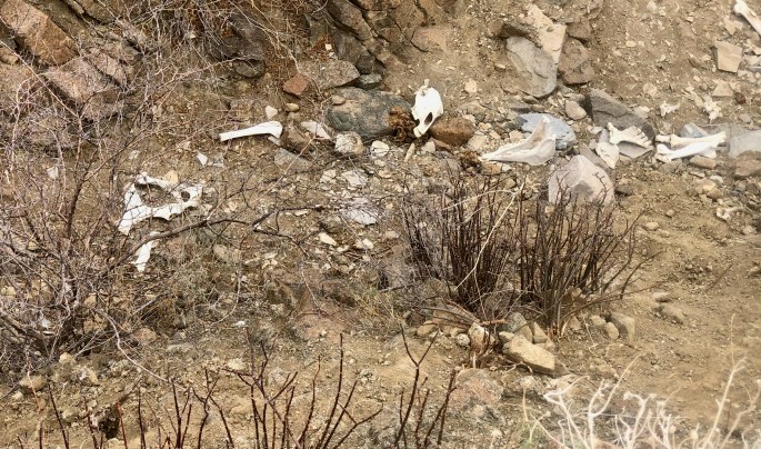
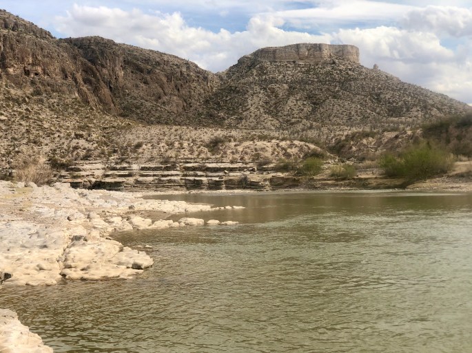
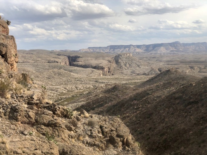
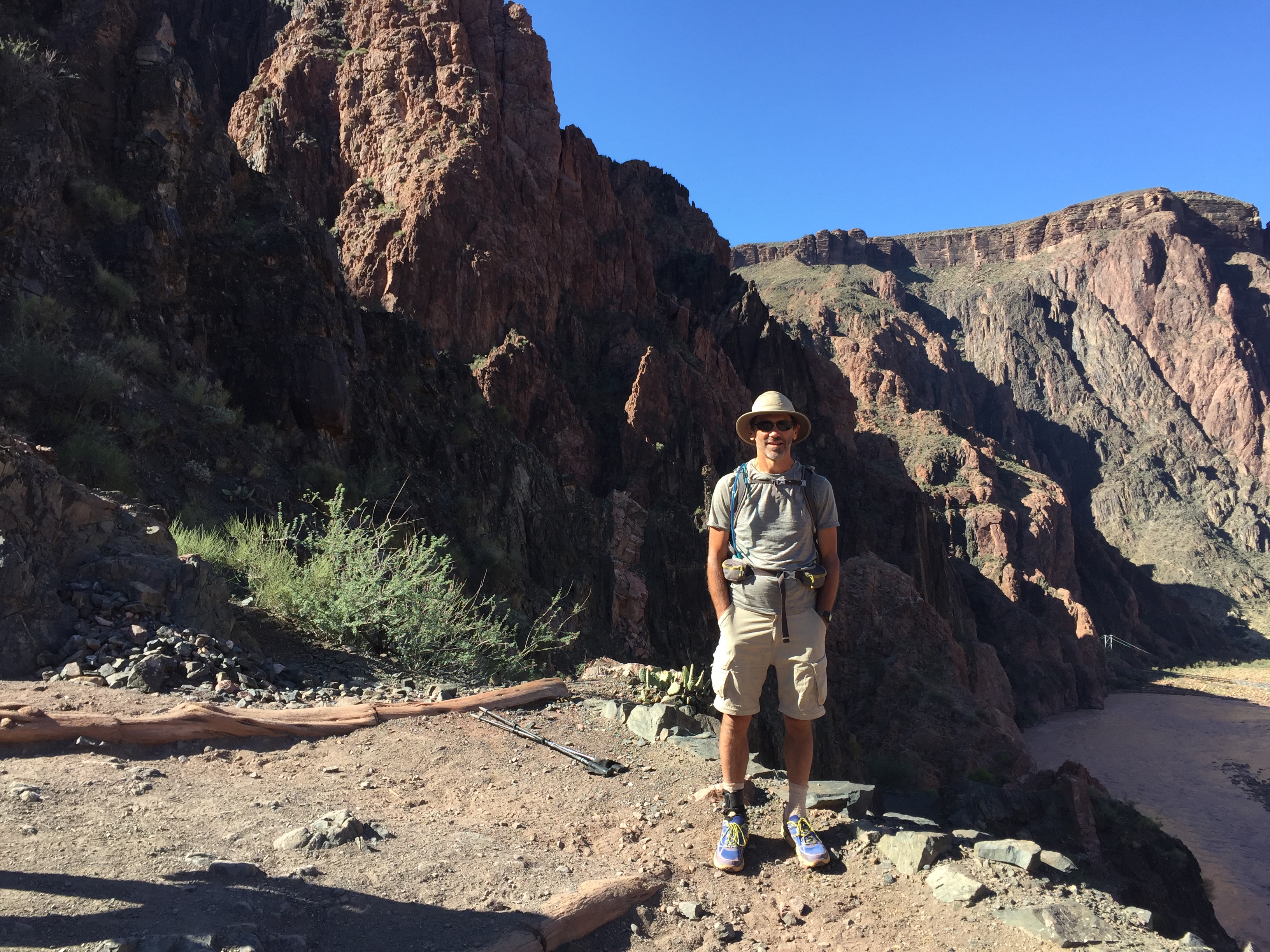
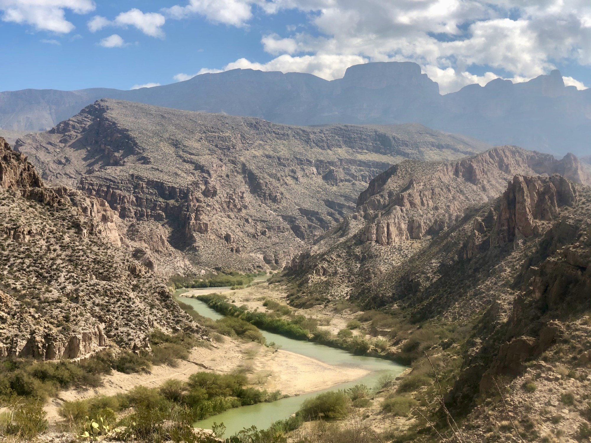
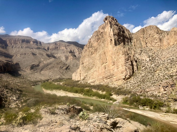
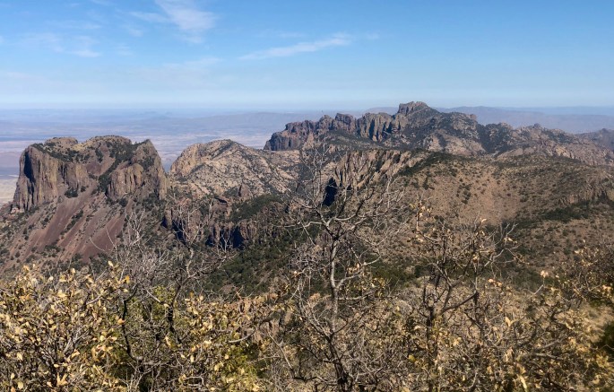
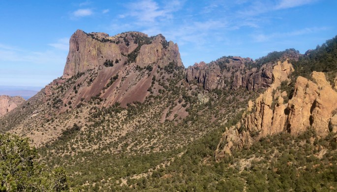
NPS has some special warnings about trying to hike the Marufo Vega Vega Loop. But if you avoid the summer months, you’ll avoid the biggest problems. The views are worth it, whether it be of the countryside (here) or the Rio Grande (later).Finally, after nearly half of the journey, I get a good view of the Rio Grande. That’s Mexico on the other side, of course.Canoeists take a break and take in the scenery from a sandbar. In a few days, I would be paddling through the same stretch of the river.Looks like a fine place for a dip on a hot day. Don’t mind if I do.From this higher vantage point the river gets swallowed up in the surrounding countrysideThe canyon on the Mexican side of the river would seem to be almost invisible from any other viewpoint.This seems like a good place to contemplate your place in the universePlacid waters just above the hot springsBeep, beep!(I’m cheating here. The Chisos Mountains are in the center of the park, not the southeast. But I spent a day here out of sequence. Please go along with me.) A view of the Chisos Mountains from the inside. The Chisos have the unusual distincton of being the only mountain range located inside a national park. And they are not the only range in the park.I found the Chisos mountains to be strangely eroded, and I liked them for that reason. They are supposedly volcanic – even though they are not black. Beats me.Casa Grande in Chisos Mountains is one of the iconic structures of Big Bend
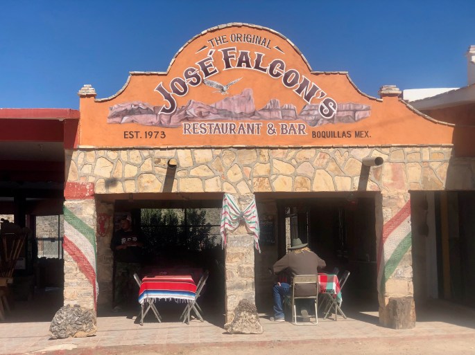
No trip to Big Bend National Park is complete without a visit to … Mexico? Yes, you can easily take a boat across the Rio Grande and visit the village of Boquillas del Carmen.
Of the two restaurants in Boquillas del Carmen, this is clearly the better one.
A local merchant (pink shirt) sells souvenirs to a tourist couple while their guide looks on.
The Sierra del Carmen Mountains in Mexico have a distinctive pink and gray that is unlike anything else in the area.
Rio Grande by Canoe
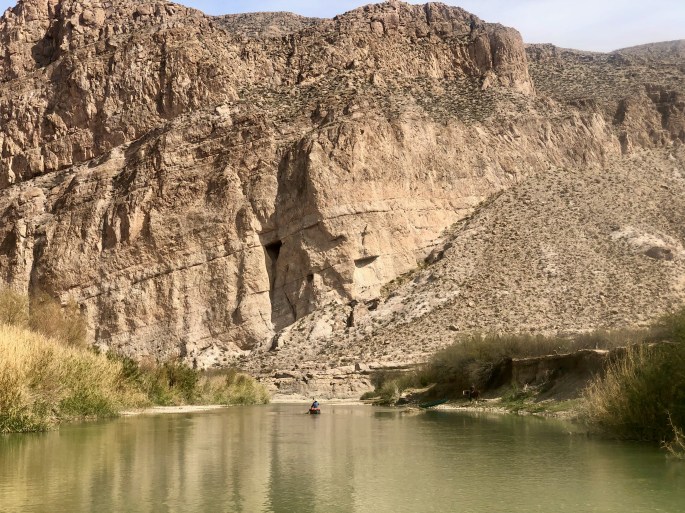
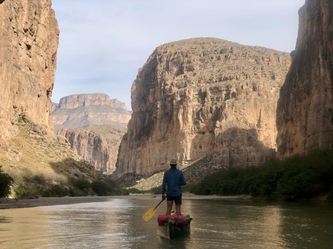
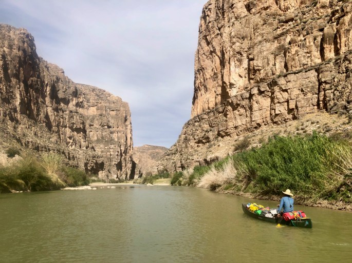
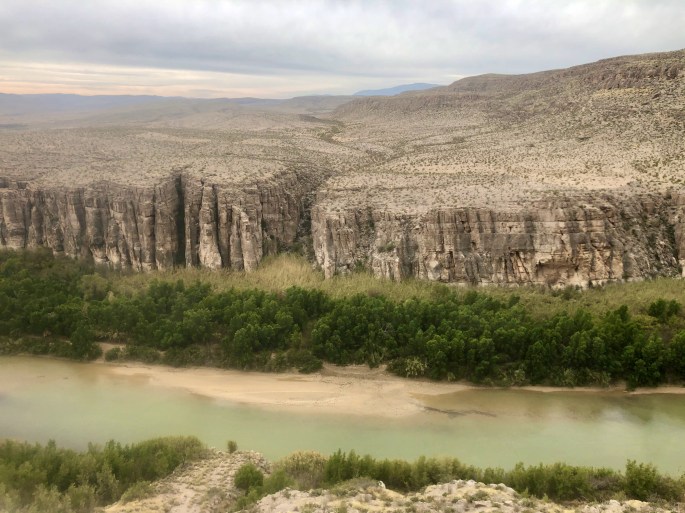
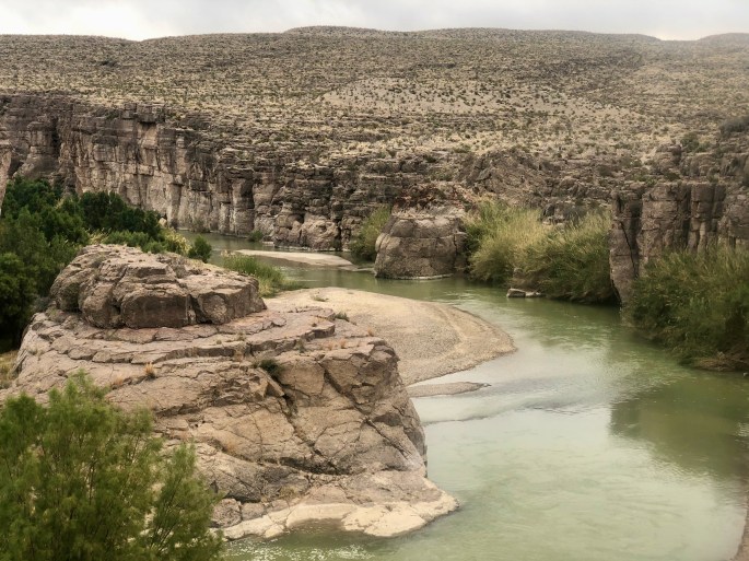
Views of rivers can be great, but to really experience a river, you’ve got to get out on the water. So I also paddled Boquillas Canyon, which is part of the National Wild and Scenic Rivers System (which makes it special).
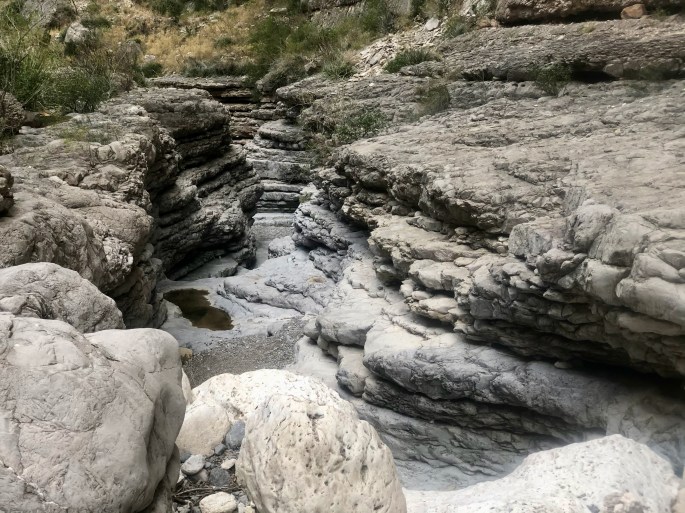
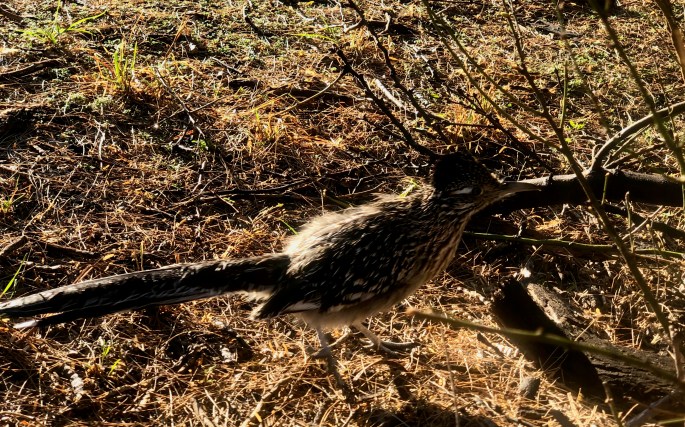
The beginning of Boquillas CanyonOur proud Texan tour guide demonstrates proper paddling technique for a canoe. He spends about half of his life outdoors. And he gets paid for most of it.At the end of the day I hiked up into a side canyon and discovered this little canyon within a canyonA quiet evening begins?This is a popular campsite for man and beast. It seems to be one of the prettiest.Can you figure out why this place is called Rabbit’s Ears?As we approach our takeout point, but bluffs generally get lower, and distant features of the landscape come into view.
Scenic Drive
On my trips, I really try to keep my driving to a minimum, but in many places the scenic drive is a “must do.” Such is the Ross Maxwell Scenic Drive. Fortunately, it has plenty of short side hikes, and I was able to do a few of them. But still, there is much that I could not include on this page; you’ll have to go there yourself. And when you do, take plenty of time to enjoy the scenery.
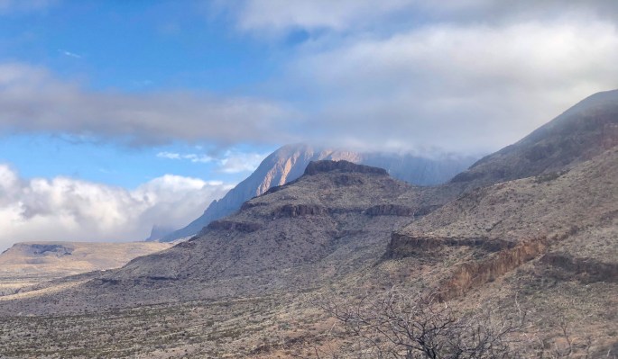
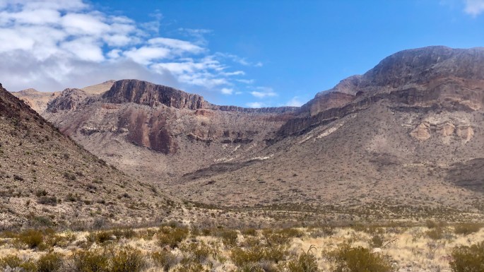
I enjoy the dance between the clouds and the mountains whenever I see itThe Burro Springs Trail begins here. How I wish I had been able to take it into the mountains.Santa Elena Canyon is known for its high and vertical walls. I trail goes for a short distance from the mouth.Mules Ears. One of the iconic shots in Big Bend (although not from the iconic viewpoint).From this perspective, the famous Mules Ears seem to be nothing of the kindThe road makes this entire region easily accessible to anyone
The Texas Half Dome?
Far West: Mesa de Anguila
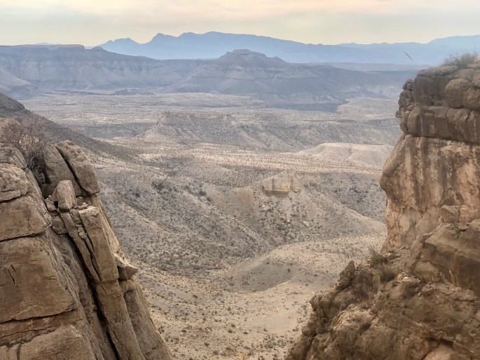
The park service has a brochure dedicated to this place. In it are many special warnings. So of course, that made it attractive to me. Upon reading the warnings, most didn’t apply to me since I wasn’t so foolish as to go there in the summer. The rest of the were things I could cope with. The reward was an untamed land and near solitude.
I don’t think we need to build a wall here
Before sunset, the view often becomes more interesting. This evening, the yellow sun made it quite dramatic.Time to get up and enjoy the worldIt looks like a trail user got too close to the edge. (Although this picture doesn’t seem to capture the distance, the bottom is about 10 feet below the trail and the angle down the side is quite steep.)Hikers and canoeists share this spotWith the landscape having a narrow range of colors, shape and texture become more prominent.


 A local merchant (pink shirt) sells souvenirs to a tourist couple while their guide looks on.