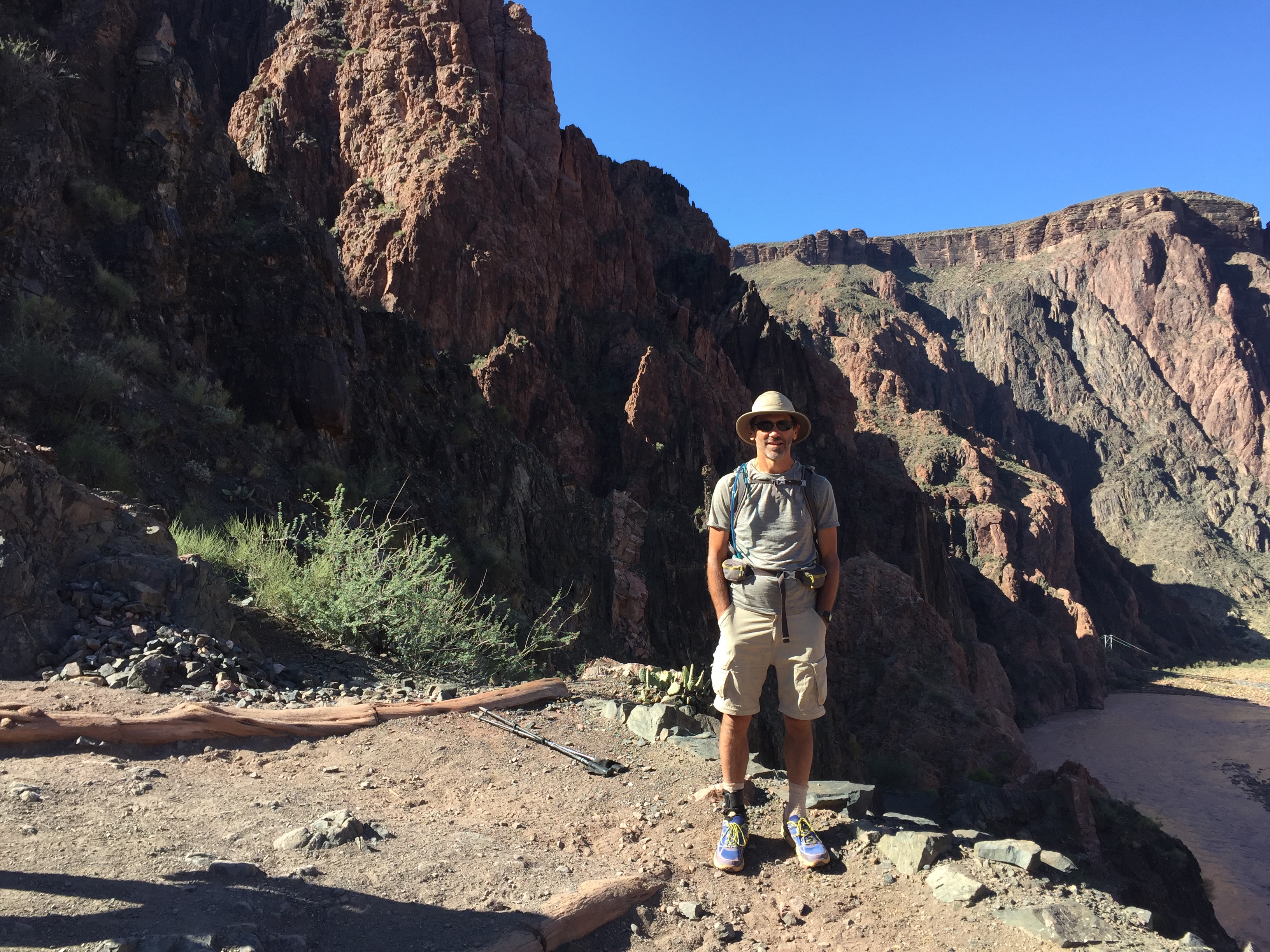
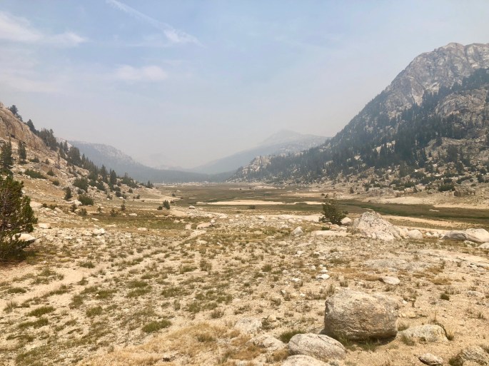
My trip to the High Sierras in the northeast quadrant of Yosemite National Park was greatly affected by the smoke from the Ferguson Fire, one of many raging through California this summer. The amount of smoke in the air varied greatly, from none through enough to render any distant shot useless. The result is that I was able to take fewer shots and in fewer places than in a normal year. Plus, many shots were degraded by the smoke. I did my best to emphasize the best shots as well as throw in a few smokey ones so you could get a feel for what it was like much of the time. So the trip was not without its problems, but one can never visit the High Sierras without being inspired.
Grand Canyon
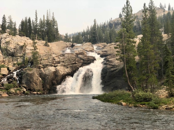
of the Tuolumne River
Note: Do not confuse this “Grand Canyon” with the one in Arizona.
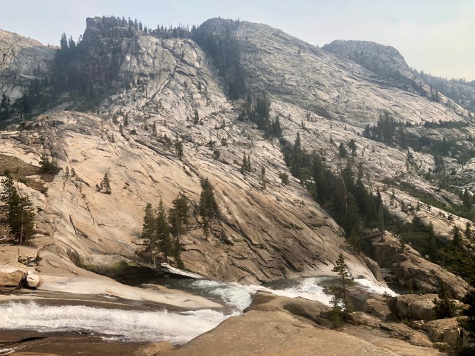
This Grand Canyon was formed by the Tuolumne River. Yes, this is the same river that meanders quietly through the peaceful Tuolumne Meadows. But once the river reaches Glen Aulin, it changes its nature into a raging, turbulent force capable of carving out a deep gorge. It is a popular destination for many backpackers due to its scenery and relative accessibility.
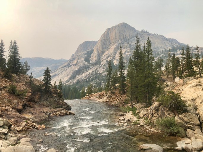
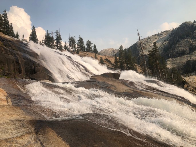
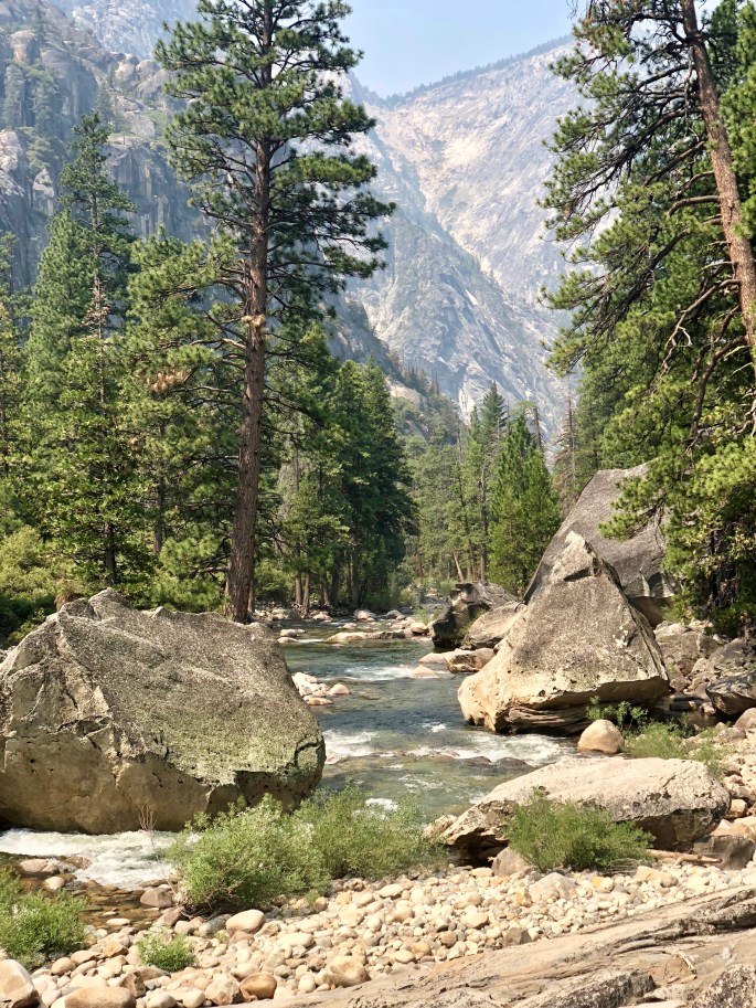
Glen Aulin FallsHere begins the Grand Canyon of the Tuolumne River. It begins with a plunge that continues plunging at various rates for 14 miles. Although not obvious here, it exists at the bottom of a deep canyon with generally steep walls.The Tuolumne River cascades down the canyon, which is not yet very deep.Le Conte Falls is many times longer than you can see from any one viewpoint. This shows a closeup.The canyon through which the Tuolumne River flows. It will get deeper.I think this is a portion of the famous Waterwheel Falls, but the waterwheels are rather modest due to the low flow rate of the river in the summer. I wonder what they would be like in the spring.This is about as slow as the Tuolumne River ever gets as it flows through the Grand CanyonThe canyon narrows at Muir Gorge. Apparently, it would have been impractical to build a trail through it, so they routed the trail high into the canyon .
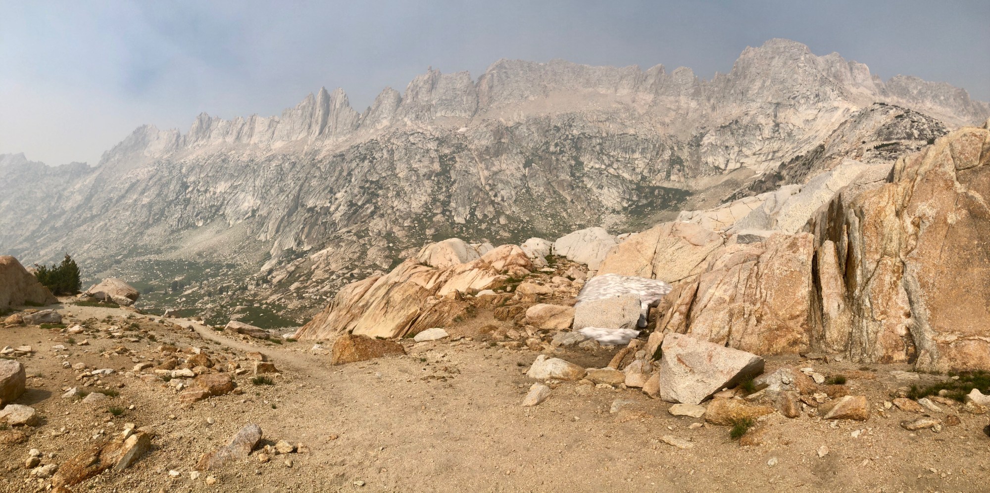
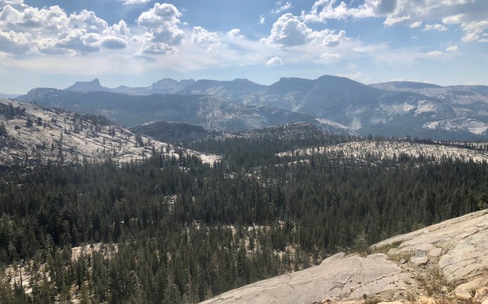
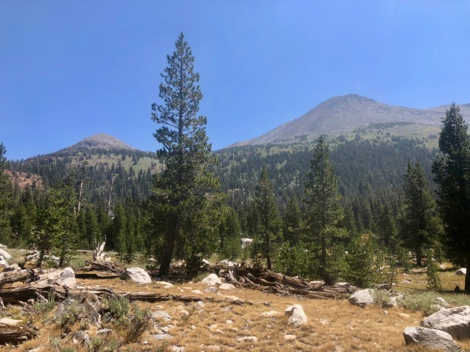
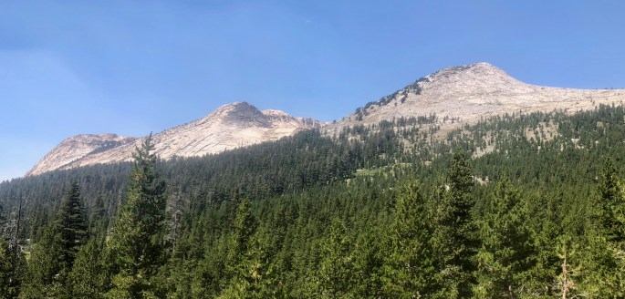
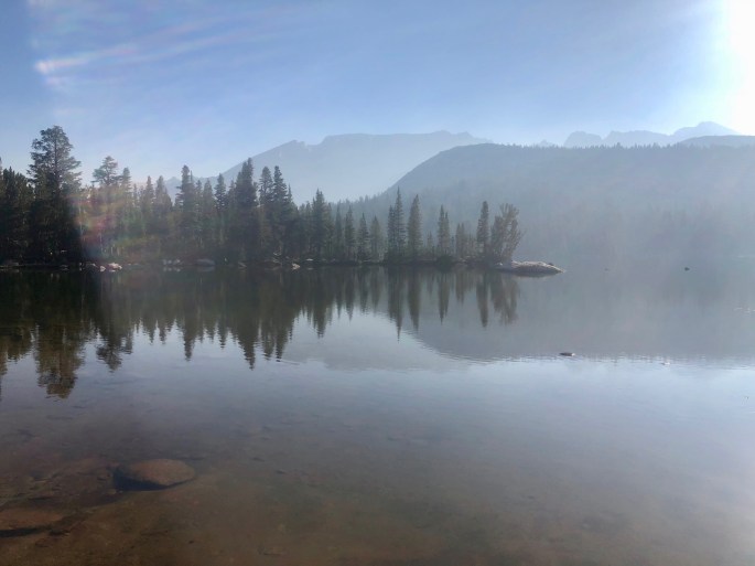
High Sierras
I went seeking out some of the remotest parts of the Yosemite Wilderness. Of course, it took a while to get there, but that’s just part of the adventure. Even in this smoke-impacted season, I was able capture some pictures that show off some of its glories.
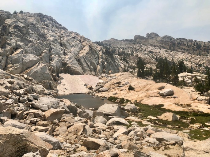
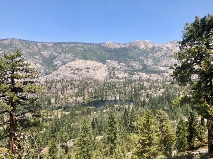
This little snowmelt pond was a welcome sight to a hiker who was out of water. But to my surprise, it was rather warm. At least the scene was pretty.The high Sierras stretch for hundreds of miles. This is just one small portion.
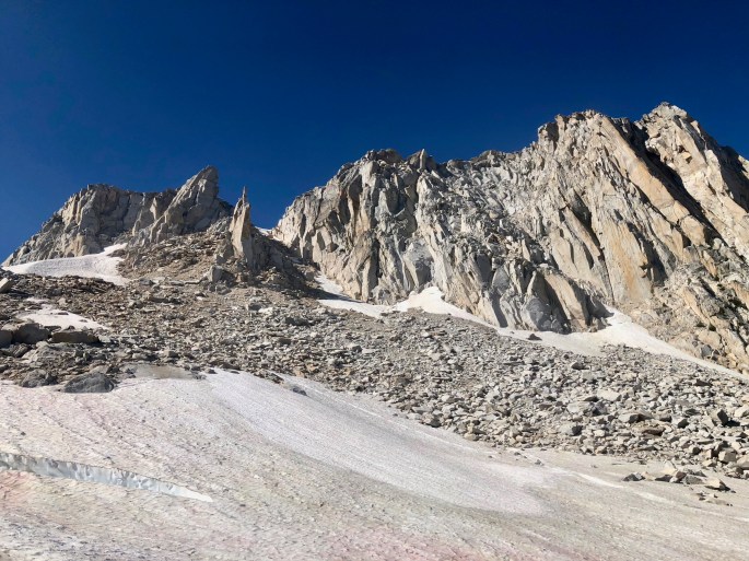
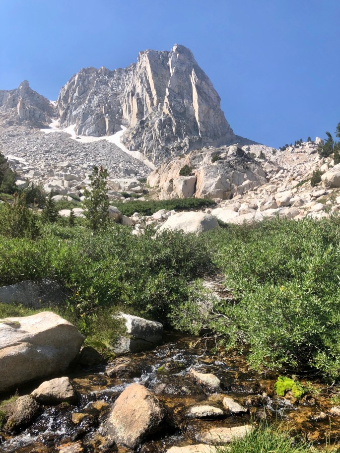
This is the High Sierra, so granite mountains are never far away
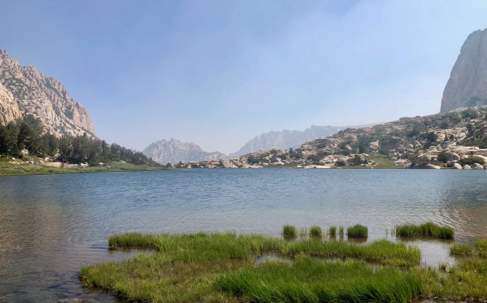
Benson Lake is nearly surrounded by rock walls. From any direction, it’s a punishing downhill trail to get here and then a punishing uphill trail to get out.In the north end of Virginia Canyon, two mountain ranges seem to overlap. The green one here comes from Toiyable National Forest; it looks nothing like the high Sierra that you see next.Classic high Sierra peaksMcCabe Lake was interesting from any angle. Here, in the morning sunlight, a little smoke and haze create a moody, fog-like atmosphere.Snow is not hard to find above Mule Pass even though it’s early August
The Sawtooth Ridge above Burro Pass is a pretty impressive sight when you’re there in person. I’ll have to come back some time when there is no smoke.From snows high in the mountains, creeks such as this one form and rush to the sea.Additional mountains rise in the distance past Snow Lake at Rock Island PassKerrick Meadows was a relaxing place to be, a nice change of pace from the rugged Sierras
Other Places
Along the way, I crossed different places that don’t fit neatly into the above categories, so I include them here.
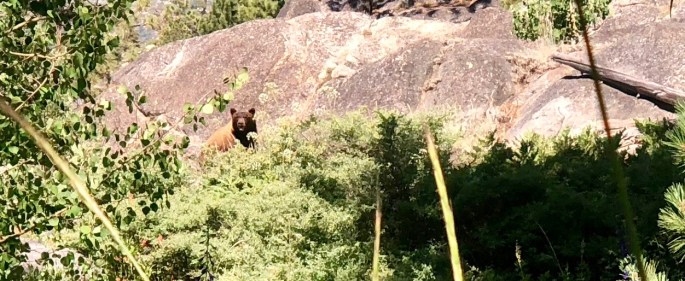
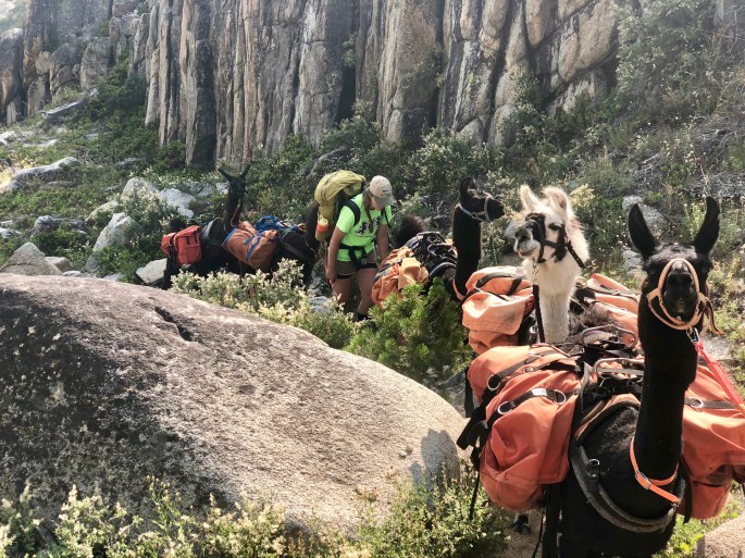
Mount Hoffmann as seen from the shore of Lake MayMy bear encounter. I thought I heard a large animal snorting about 20 feet away from me, so I clacked my trekking poles together and stopped. Up popped a good size brown bear to take a look at the invader. He decided he didn’t want to risk an encounter with such a powerful foe, so he lumbered off. He then paused and looked back, and I snapped this National Geographic quality photo of him.Table LakeThe Tuolumne River is placid as it flows through Tuolumne MeadowsThe smoke produces a foggy-like atmosphereIf carrying a backpack full of gear sounds like too much work, hire a mule team. This one supports five hikers who were several miles behind them and provides meals and camping gear daily.If you don’t like mules, let llamas carry your gear.