Fall 2016: Capitol Reef National Park

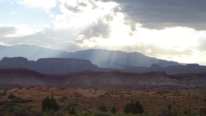
Most people have never heard of Capitol Reef National Park in Utah.  That’s just one reason I wanted to stop there for a few days on my way to Canyonlands National Park.  I found both complete isolation and the popular Scenic Road.  Both were worth the journey.  Oh yes, it was also a stomping ground for one of America’s most famous outlaws.

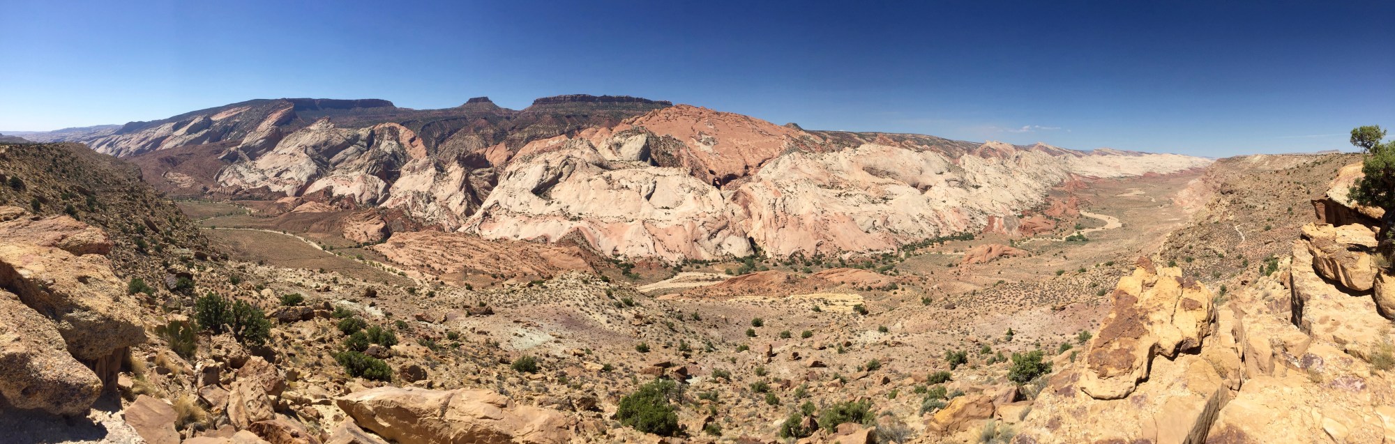
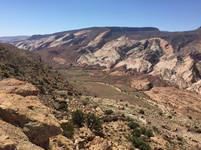
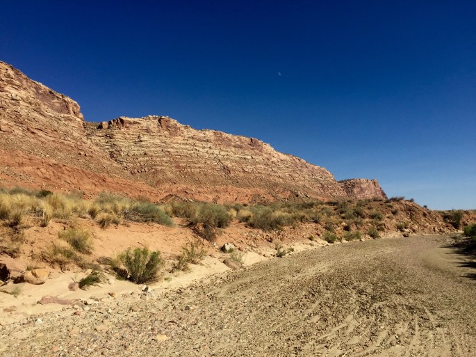
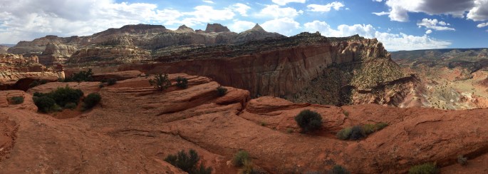
After some formalities, my visit started in earnest with a drive through a large part of the Waterpocket Fold to my trailhead.  This is a 100-mile long geological feature. While the pictures below will give you an idea of what it looks like on the inside, I never visited a place that would give me an overlook of it; for that, you can check out this Wikipedia page.  You might be surprised that there is a place on earth that looks like it.

dsc02685dsc02689dsc02691dsc02696dsc02698img_9437img_9441

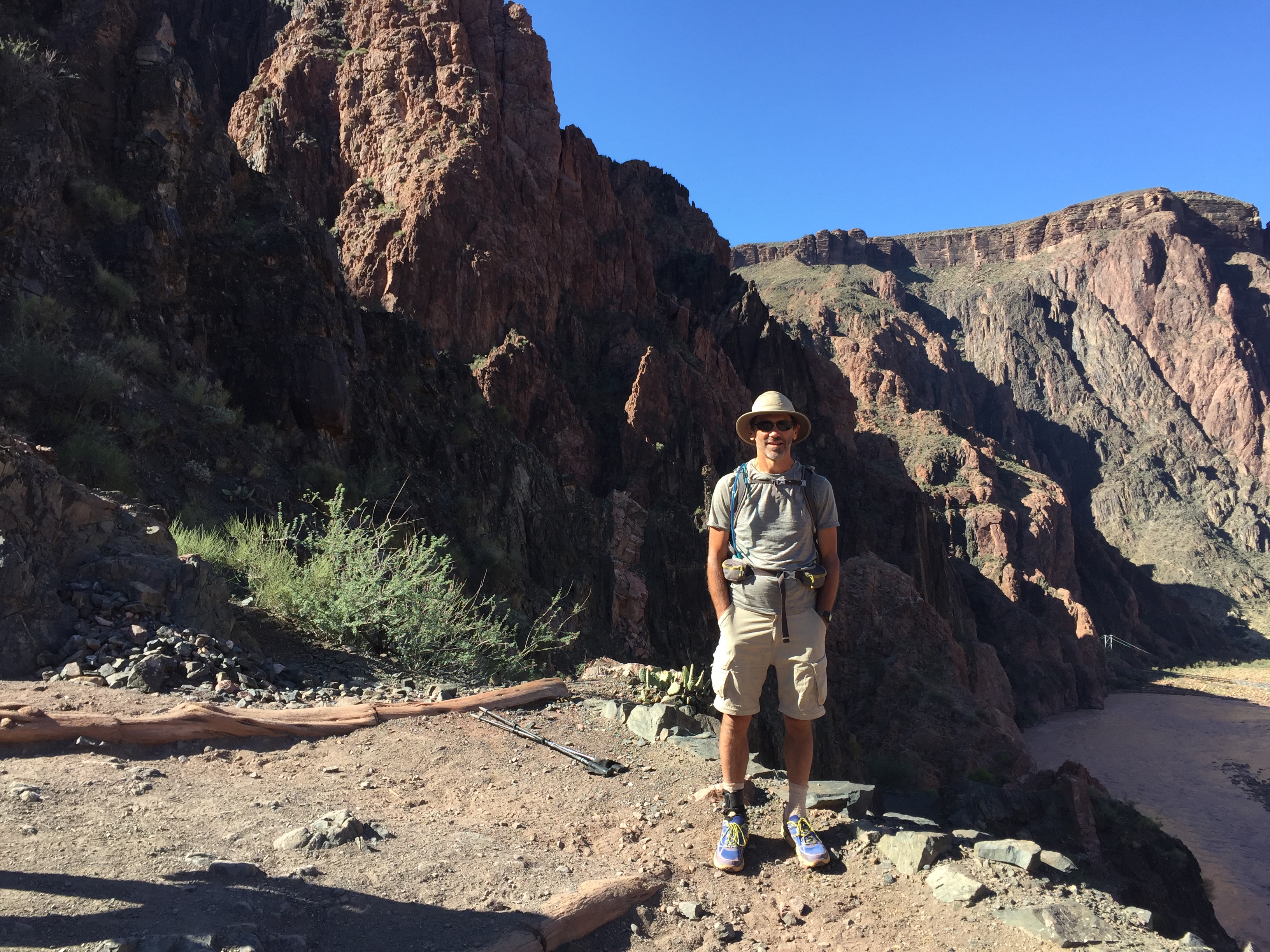
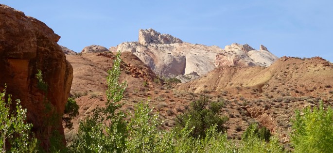
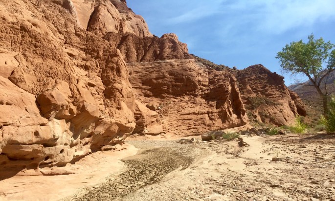
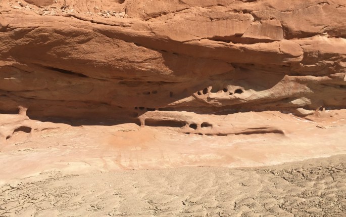
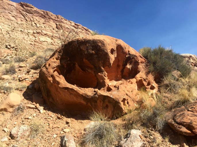
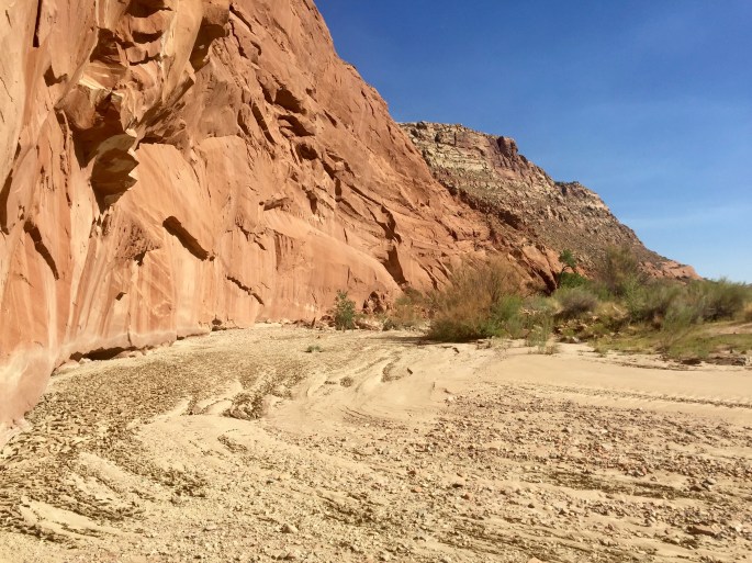
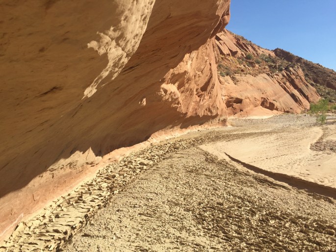
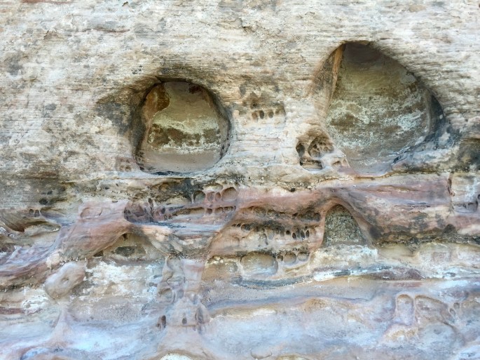
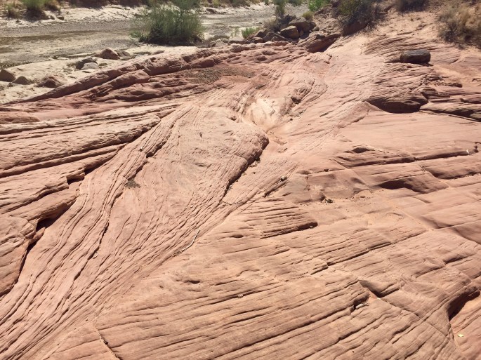
The park is very long but skinny.  Even though it is surrounded by additional park-like lands, there aren’t very many hiking trails in the area.  I started with a two-day backpacking trip along Halls Creek through Halls Creek Narrows, which was the only “real” backpacking trail in the park.  OK, I’m game.  Of course at this time of the year, the “creek” was really just a wash, but oh what a fascinating wash!  Have you ever walked in a stream without the water?  It was fun to see the different types of mud and to analyze the rocks and sand to distinguish the deep and shallow areas of the creek and where the water flows under different conditions.  It would be interesting to return in the spring and see how accurate my analysis was.  And as always in red rock country, the rocks were endlessly fascinating.  It was two days of wonder and even intellectual challenge.

Views from the TH at Halls Creek Overlook
This is the view from the trailhead, meaning you can drive here, although my 2WD vehicle barely made it. Down in the valley, you can see the sandy wash that would be my “trail” for the next two days.
How many colors are there?
How many colors are there here?
img_9467
Here the trail from the trailhead hits Halls Creek. This is the last water for about 8 miles. Note the many small animal tracks.
img_9470
Three different kinds of dried mud. On the left is deep-water mud. On the right is shallow-water mud. Top right is a hybrid. (This, of course, assumes that my analysis is correct.) I would see much of it. After all, it is September.

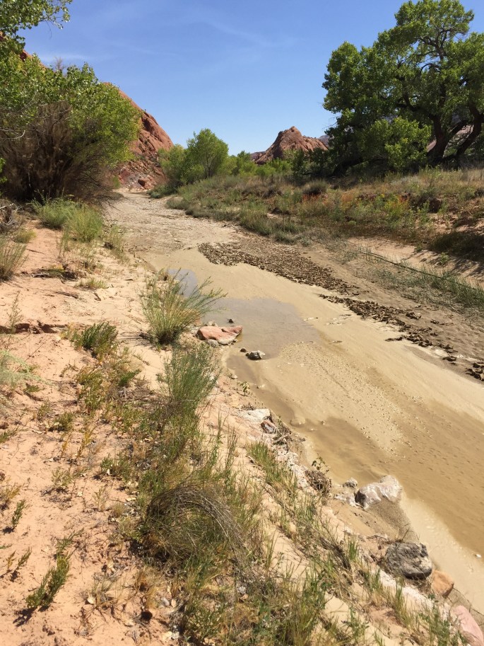
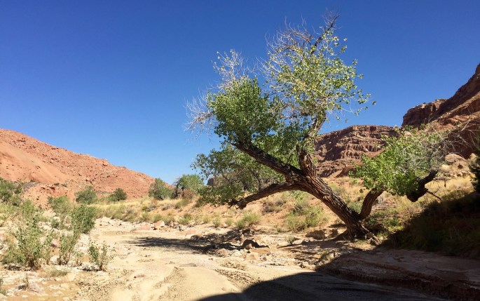
Note the debris at the bottom of the tree on the left above. What is is?  On the right, you can see that it was a single tree.  I would see more of these.  How high was the water?  How fast was it flowing?  How long will the dead tree keep hanging on before it is forced downstream?  Then what?

img_9479img_9480

Just plain weird
Just plain weird

img_9489

Fast water goes on the left.  Shallow water goes on the right.
Fast water goes on the left; shallow water goes on the right.  The rocks, shape of the land, vegetation and dried mud all tell the story.
A stretch of easy walking
A view from near my chosen campsite
A view from near my selected campsite

dsc02720

dsc02721
Even some of the smaller features have preserved their layers over time. They must be unusally hardy.
dsc02725
Huh? How could these rocks survive when they are so exposed and seem to be the same type as those around them?
The weird was never far very away
How deep can the red get?  Note the whitish layer immediately above it.
How deep can the red get? Note the whitish layer immediately above it.  And below it for that matter.
img_9541
These seem to be temporary structures that have been frozen in stone and preserved despite the ongoing erosion
Few trees here are so well-positioned that they can survive the ravages of time
Few trees here are so well-positioned that they can survive the ravages of time as this one has
Hoodoos I suppose.  Some have caprocks.
Here be hoodoos here, I suppose. Some have caprocks.
One last view up-canyon before heading back up to the trailhead
The ascent is rocky and difficult at times.  What else is new?
The ascent is rocky and difficult at times. So, what else is new?

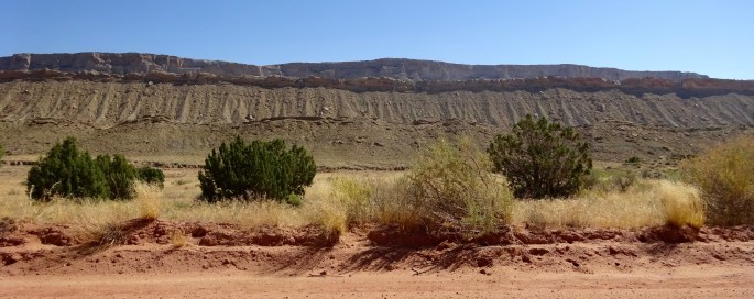
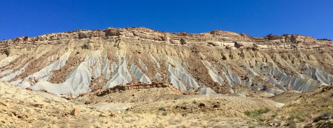
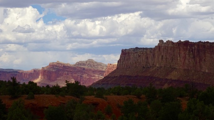
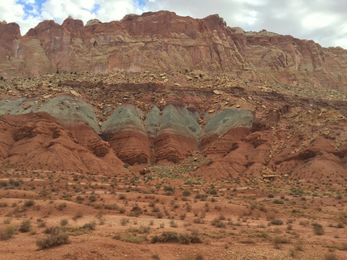
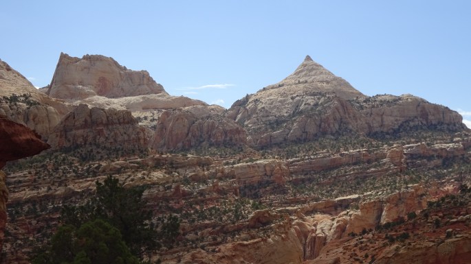
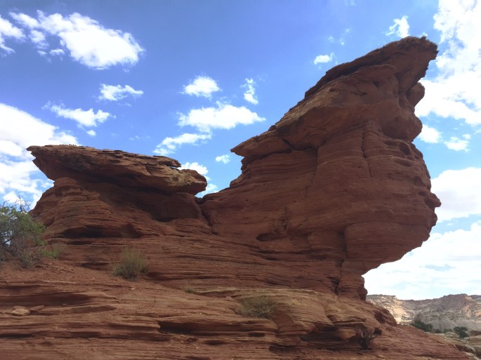
I’m not opposed to civilization.  Really I’m not.  It provided me the gravel road to the trailhead, the trail down from there to the wash and even the signs and the confidence to know that the route was doable.  Now I make it my friend to spend a partial day along the plebian Scenic Drive.  That’s OK with me (for a while).  Here is a small sample of what it holds.

dsc02734dsc02759dsc02764img_9640

dsc02742
Just off Scenic Drive is a short hike to Cassidy Arch, shown above upper right. Can you think of a famous Cassidy? David? Nope. Butch? Yep. This is where he and his gang would occasionally hang out. See more pictures of the area below.
img_9715
Cassidy Arch from nearby. It’s quite large, perhaps 70 feet from top to bottom and side to side.
dsc02752
Cassidy country (above and below)

img_9708

img_9725

Totals for Capitol Reef: 2½ days, 34 miles

Next destination: Canyonlands National Park