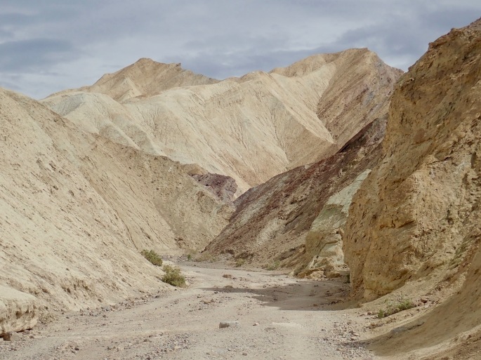
Last spring, I visited the middle of Death Valley National Park, so on this trip I focused on the east side, from the Owlshead Mountains in the south to Ubuhebe Crater in the north.
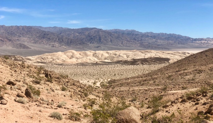
Owlshead Mountains
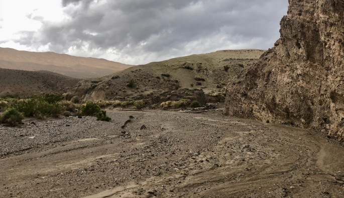
Not many people go hiking in the Owlshead Mountains. A 4WD road allows people to drive into the area, but there are no trails. If you’re looking for solitude during the busy season in a national park, you can find it here.
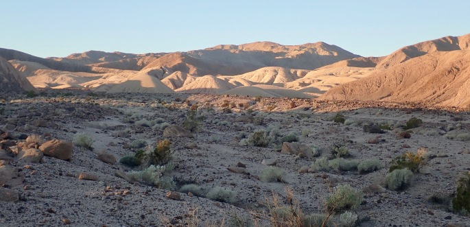
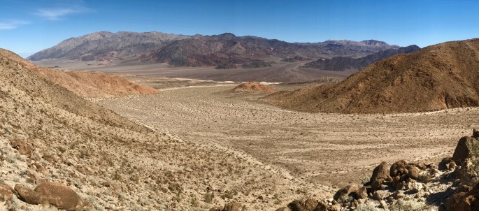
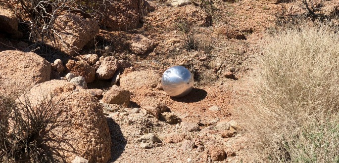
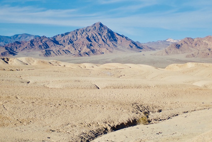
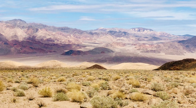
Does this look like a river to you? The Amargosa River is classified as an “intermittent waterway.” I’ve got to believe this one is usually dry. It did have a little bit of water in some shaded spots, but for the most part it looks like this. I found it intriguing. BTW, it can be dangerous to cross when the water is flowing.Morning mounds along my way up a canyonSurprising colors. Death Valley is never quite what you might expect.As I head up an alluvial fan, I see another one on the other side of the river. I will go there tomorrow.I find rocks fascinating. I should have been a geologist.This looks like a rock monster with many mouthsDeath Valley offers more shades of brown than I have seen anywhere else.Tired of brown? Here are some other colors.A large tree by Death Valley standards, this one somehow finds a way to stay alive. I bet it’s much older than you think.With the Owlshead Mountains behind me, I can see the Black Mountains in the background and the Confidence Hills below. Death Valley has many mountain ranges; each has its own characteristices.The scope of this park is amazing. Here you see just a small part of if.We are not alone! This metalic sphere is about a foot across. A couple of rangers were curious but clueless. I could be from nearby Fort Irwin Military Reservation. When I hit it with my trekking pole it didn’t seem explosive.A cholla cactus adds a bit of life to this vast (and fascinating) barrennessThe Confidence Hills (lightest in color) are made of a spongy material I have never seen anywhere else.The texture of the Confidence Hills becomes evident, but is it soft? Hard? Sandy?The Confidence Hills may look like sand dunes, but they’re more like sponge dunes.This wash goes through the Confidence Hills. It gave another picture of this fascinating terrain.Different types of mud with varying degrees of moisture on the bed of the Amargosa RiverThis scene looks more like a painting than a photograph. It can’t be real, can it?An early morning visitor to my camp. Shot from 25 feet away.
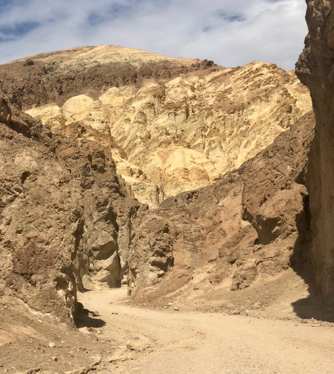
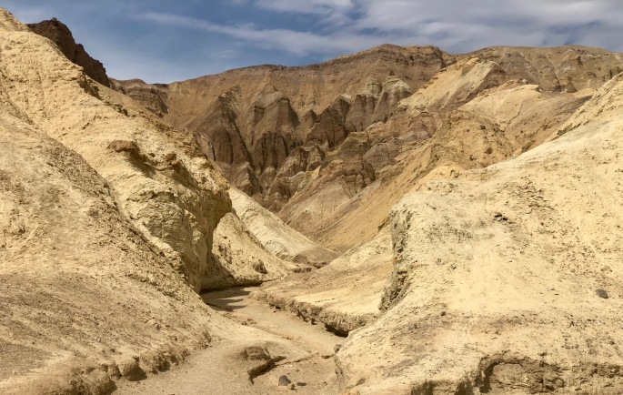
Golden Canyon
Golden Canyon is one of those places that is along the main road and is, consequently, easy to visit – or skip if it doesn’t look interesting. I didn’t know it when I went there, but I now consider Golden Canyon to be a “must visit” place in Death Valley. Your first clue will be the overflowing parking lot. Your next clue will come when you set foot into the canyon. After that, it is one amazing scene after another. It blew me away like no other place I have visited. Ooops! So did a place in Zion National Park. In both cases, you could be dropped in at any random location, look in any direction, and see something that was worthy of pictures. If we still used film today, this would be the place where you would run out of it.
Just a few feet down the trail, I was already impressed. Little did I know what was to come.You could be forgiven if you assumed this area was all white
Manley Beacon commands the attention of all visitorsThis place should obviously be called Diagonal Canyon
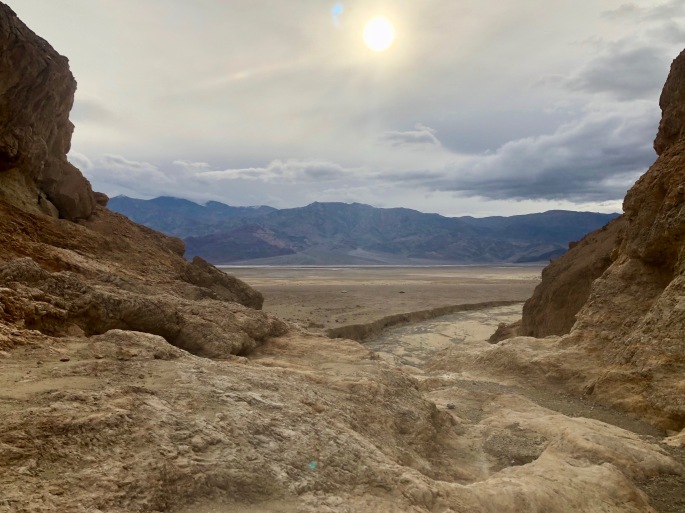
Most of Golden Canyon feels like an island separated from everything else, but here you get a glimpse of of a portion of the vast Badwater Basin in the distance.The subtle colors blow me away!
Zabriskie Point allows the most casual visitors to see one of the best sites of Deathy Valley, but those visitors see only a fraction of what is out there. But oh what a fraction!Even in a place like this, purple and green rocks seem strange.Exiting the canyon, we can see the Panamint Mountains in the background, Badwater Basin below them, cars driving along the road and more hints of the otherwordliness of the canyon, in particular the wash at the exit.The wash below reveals a braided pattern while the trail above implies (but not deliver) danger.
Ubehebe Crater
Death Valley has many different places, e.g. The Racetrack (where the rocks somes move long horizontal distance), sand dunes, Badwater Basin, different kinds of mountains and even a volcanic crater. This is definitely not an ordinary place.
Ubehebe Crater reveals violence action in during the past.This scene may look peaceful, but what you can’t see is the tremendous wind. It was impossible to walk normally. Walking along a knife’s edge was a bit edgy.
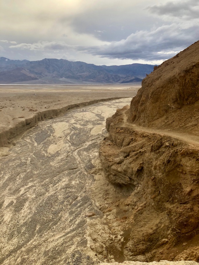
Death Valley Wash
Death Valley is the largest national park in the lower 48, but it has few hiking trails. So I followed a portion of Death Valley Wash as if it were a trail.
This is a portion of Death Valley Wash. In Death Valley National Park, that seems to be an auspicious name; I found it to be interesting but not more than that.This is a rather typical section of Death Valley Wash. The steep banks would seem to say something about the waters that occasionall rush through here.A view to one side of the wash. You are never far from mountains in this park.
Badwater Basin
I’ve been to the popular portion of Badwater Basin before. So this time I went to a different area.
Badwater Basin stretches for miles before meeting the Panamint Mountains in the back, with the snowy Telescope Peak at the top. For two years in a row, snow has frustrated my desire to hike to its top.What causes these rolling ridges in an otherwise flat stretch of land? Sorry, my mind asks questions like these.Despite the signs, some feel the need to drive out onto the basin. But walking is so much superior.
Indian Pass Area
I set out with the goal of hiking to Indian Pass and returning. But since this is a route and not a trail, I was left at the mercy of some sketchy directions and never got to the pass. But I certainly enjoyed the visit to the area.
My goal was somewhere in the low area of the mountains in the upper center
Diagonal lines go in different directions here. I wish I were a geologist.